Icelandic masters with a trek
Tips for trips and routes in Iceland
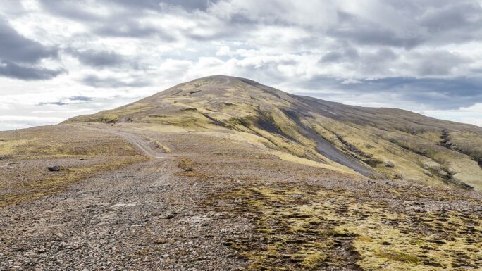
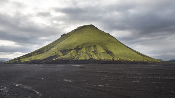
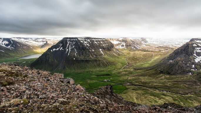
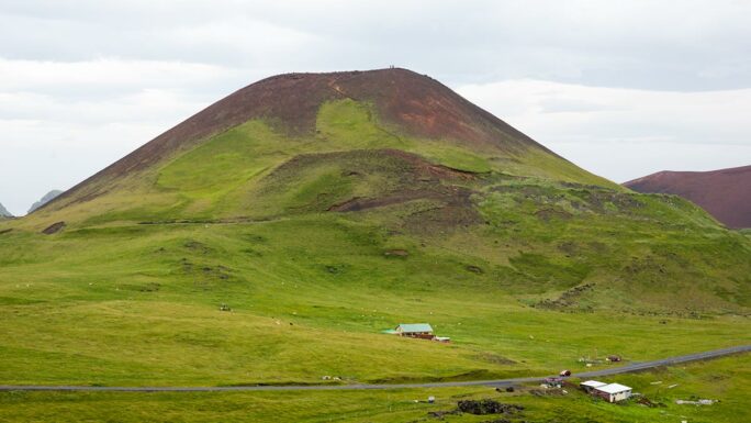
Vindbelgjarfjall
a hike to an eye-catching hill by Lake Mývatn
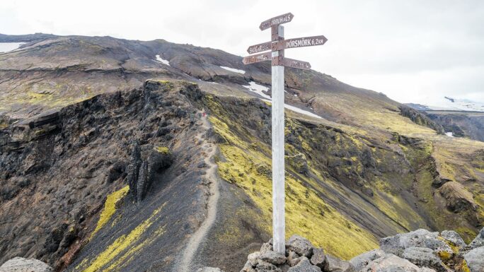
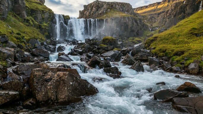
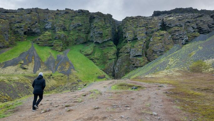
Heljarkambur
one of the more difficult spots on the Fimmvörðuháls trek, which you can reach as a day trip from Þórsmörk and return via a different route each time
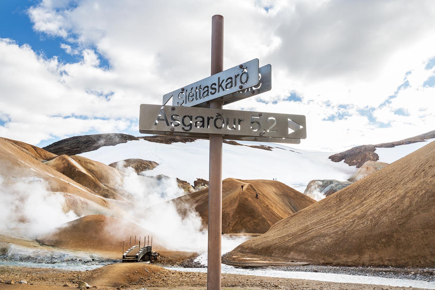
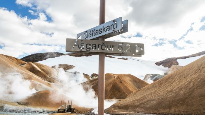
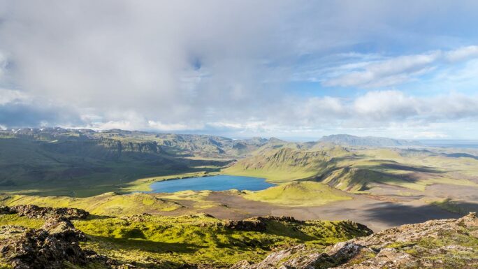
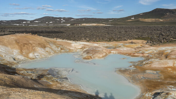
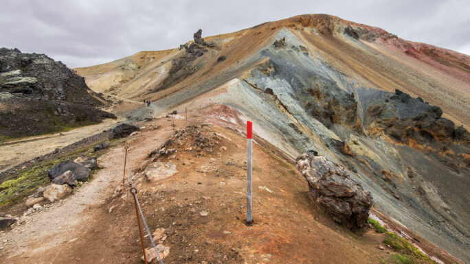
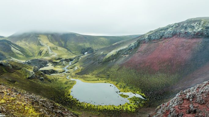
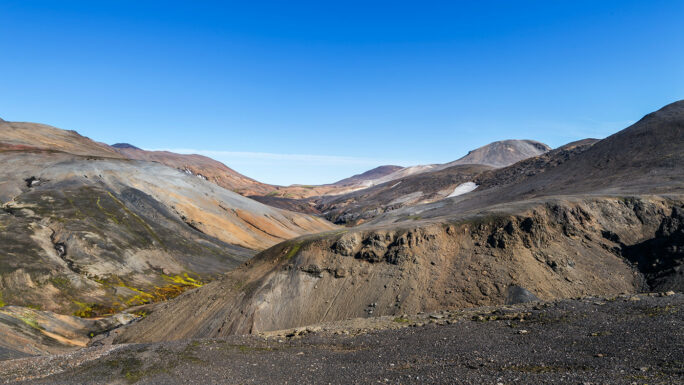
Kerlingarfjoll
a hiking area in the “Witch Mountains” geothermal region
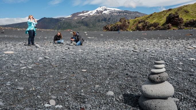
Snæfellsjökull
the only glacier in Iceland you can hike on and probably not die. That doesn’t mean you should try it.
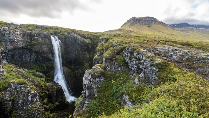
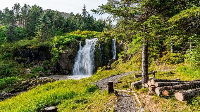
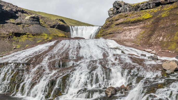
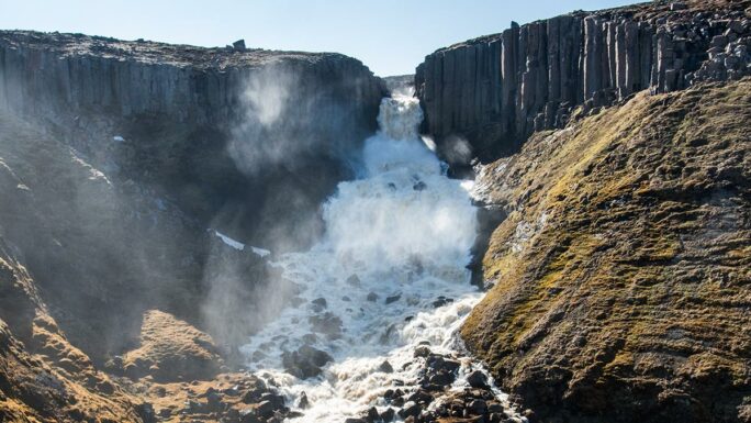
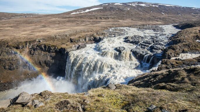
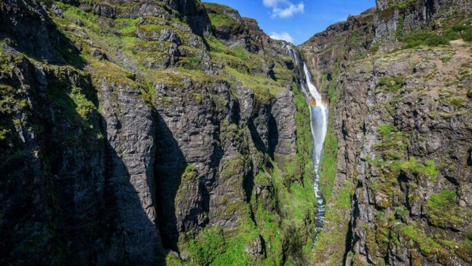
Hengifoss Neskaupstaður
a short hike through a rift to Hengifoss waterfall, but a different Hengifoss than the one you probably know..
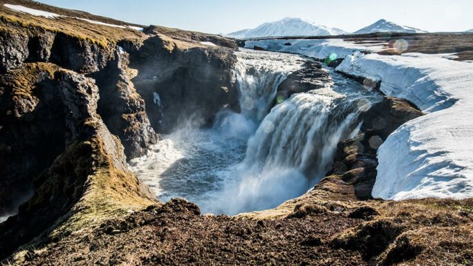
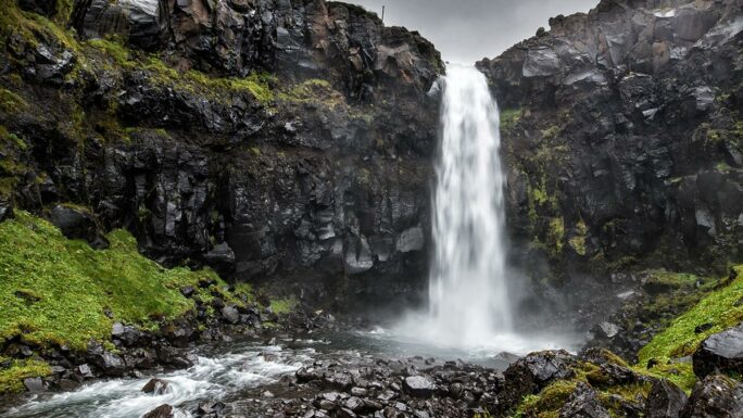
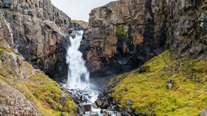
Hengifoss
about a one-hour hike to the famous Hengifoss waterfall in East Iceland. On the way there is also a bonus waterfall, Lítlanesfoss
Hrútey í Blöndu
an interesting place where you can walk surrounded by almost continental nature
Walk around Húsey
a farm in remote East Iceland with many birds. Legend says seals also live here and even give birth to their young, but I’ve never seen them (I’ve been here twice)
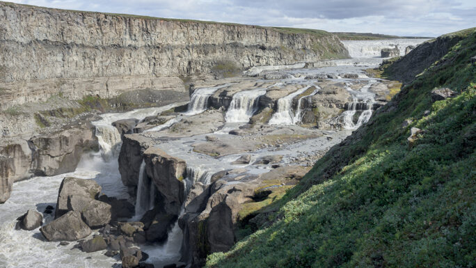
Holmarfossar
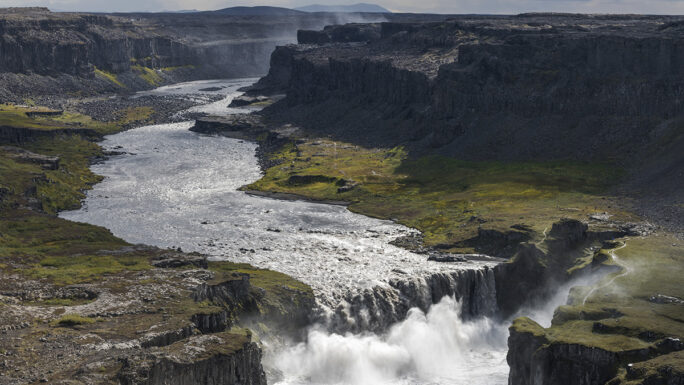
a beautiful trip through wild nature around the glacial river Jökulsá á Fjöllum and the Jökulsárgljúfur canyon
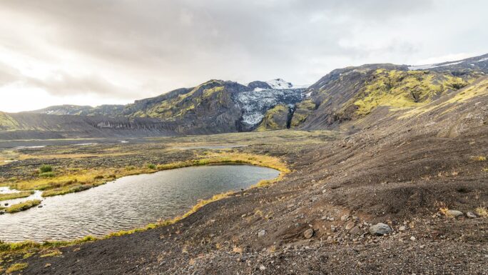
Hvannargil
an alternative route of the Fimmvörðuháls trek from Þórsmörk
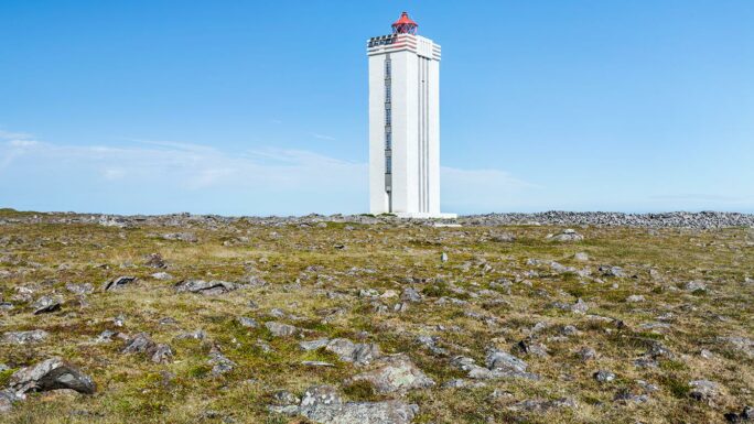
Northernmost lighthouse in Iceland
a place where during the summer solstice the sun only sets for a few minutes
Leyningsfoss
a waterfall in the north located in a forest. Unusual for Iceland.
Hatta
a very beautiful place accessible from the village of Vík í Mýrdal
Road to the end of the world
hard to describe this place; I wasn’t impressed and will probably never go again
Halldorsgil
gateway to the Icelandic highlands near road F208
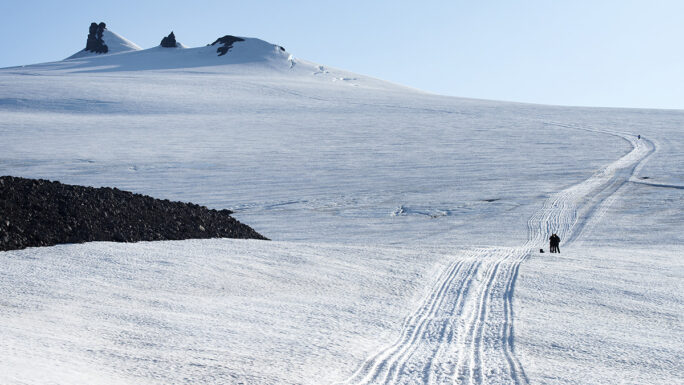
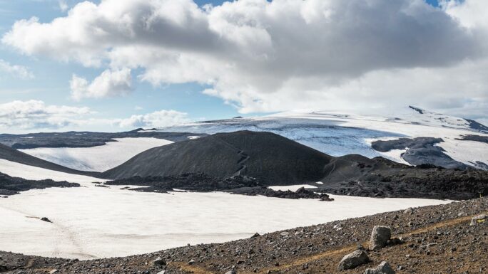
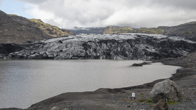
Gigjokull trek
glacial tongue
Móði 2010
one of the newest peaks in Iceland formed during the 2010 eruption of Eyjafjallajökull volcano
Magni 2010
one of the newest peaks in Iceland formed during the 2010 eruption of Eyjafjallajökull volcano
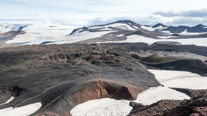
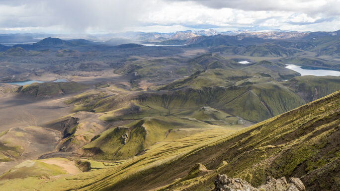
Grænihryggur
one of the icons of the Icelandic highlands; every step (and there will be tens of thousands) is worth it
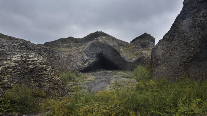
Páskahellir
a cave near the easternmost point of Iceland
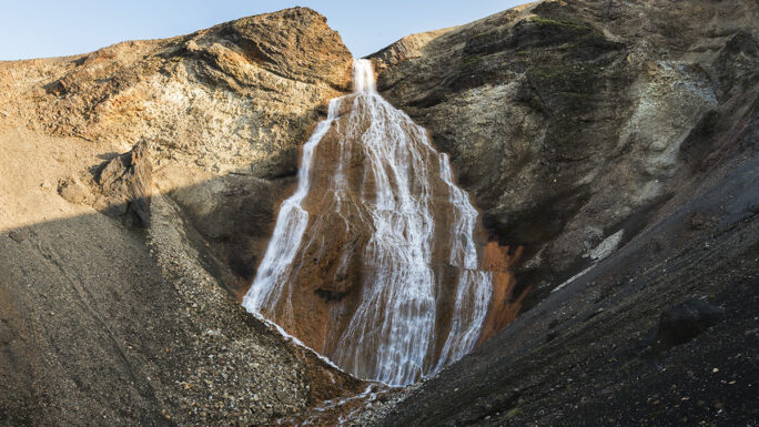
Nauthúsafoss
you can reach the waterfall either through Nauthúsagil canyon or above it
Rifstangi
the northernmost point of mainland Iceland
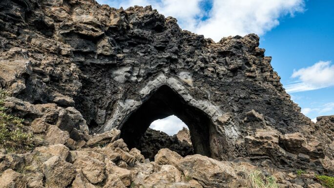
Gatastakkur
an interesting rock formation and the coastal route there is beautiful
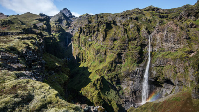
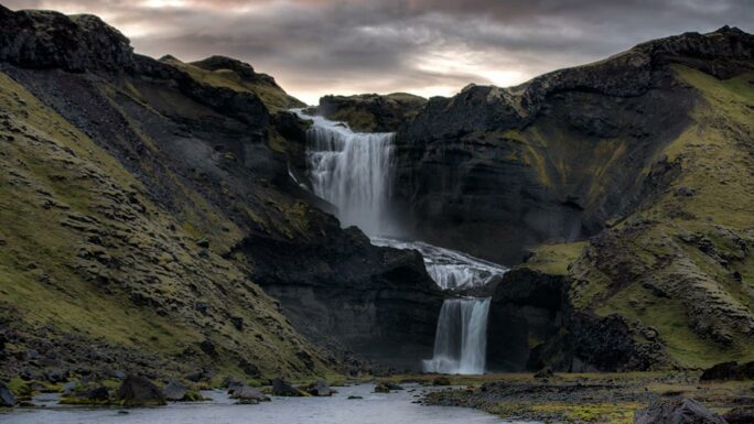
Efstifoss
the first in a long series of waterfalls on the Skógá river; reaching it from Skógafoss takes about 3 hours
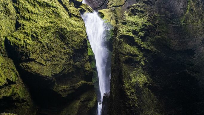
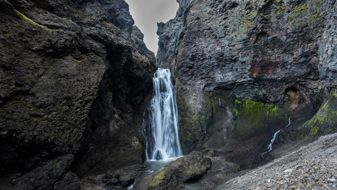
Foss í Stakkholtsgjá
a waterfall in a rock fissure in Stakkholtsgjá canyon
Slaedufoss
an interesting waterfall on an alternative Fimmvörðuháls route
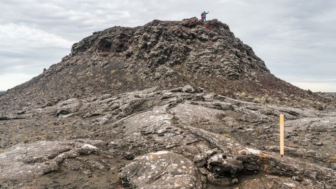
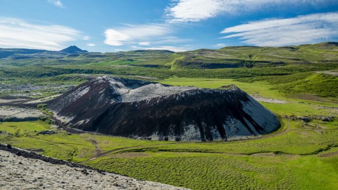
Stampar
a small hike to a minor crater on the Reykjanes peninsula
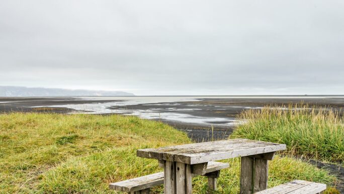
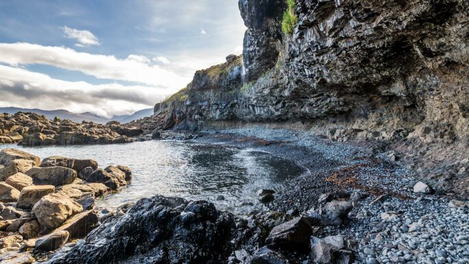
Stapavík
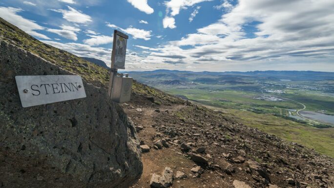
Steinn Esja
the viewpoint Steinn is at 565 meters above sea level, starting almost at sea level—it’s all up to you
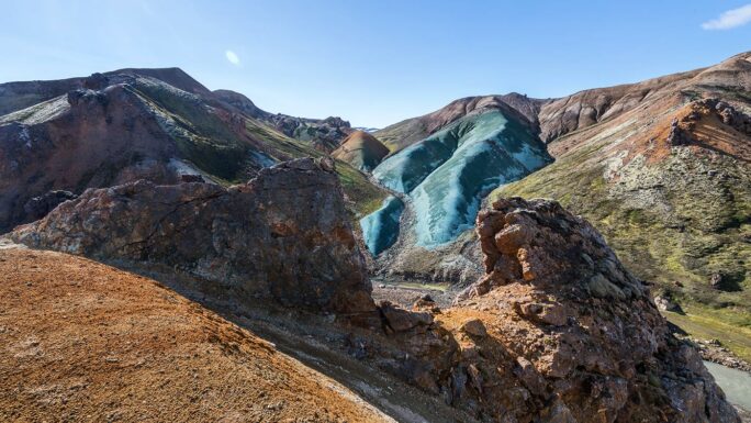
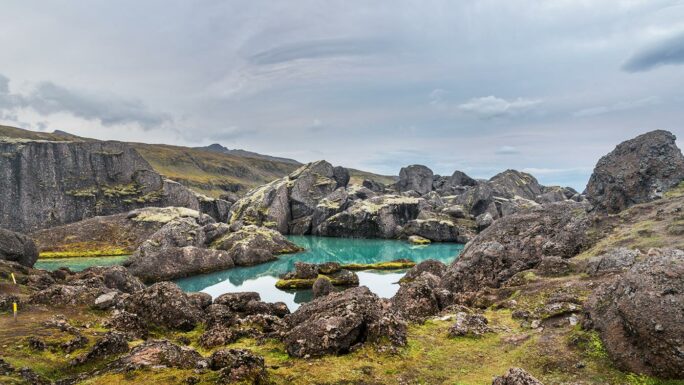
Stórurð
a magical place with several routes; the shortest is about 5.5 km with 400 m elevation gain
Búrfell
no civilian cars allowed; hiking is about 5 km with 400 m elevation gain
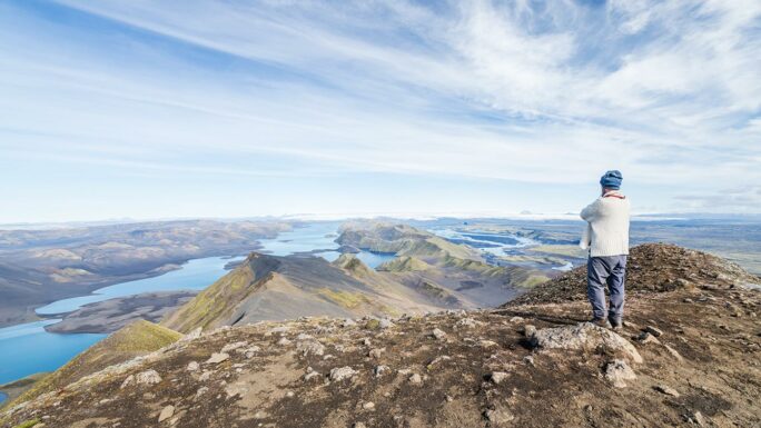
Sveinstindur!
the hike to this iconic inland Iceland location takes about one hour
Syrfell
a short hike to a place almost nobody knows exists
Kristínartindar
the highest (accessible) peak in Skaftafell; about 10 km with 1100 m elevation gain
Djúpalónssandur
about a 500-meter walk to the beach
Valahnúkamöl
a fascinating coastal spot where the ocean seems to disappear between massive rocks; about 500 meters walk and usually empty
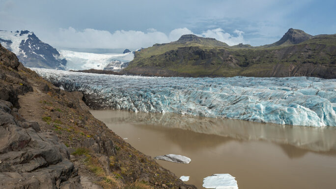
Svínafellsjökull
the old road to Svínafellsjökull is closed to vehicles; it’s about a 2 km walk
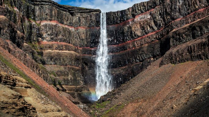
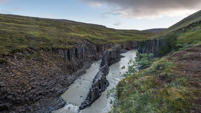
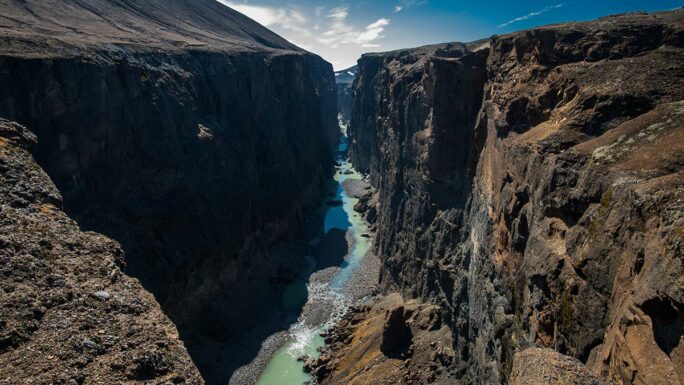
Stuðlagil
you can access the canyon from the west (about 350 stairs) or the east (about 1500 m walk plus exploring the canyon)
Rauðufossar
2 km along a sloped path from the parking area; the waterfall is roughly halfway to Rauðauga
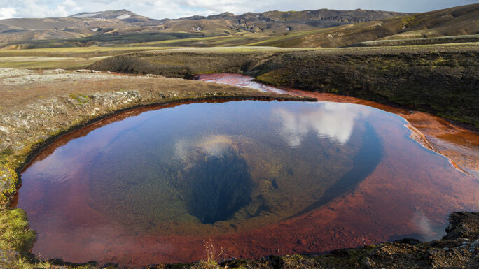
Rauðauga!
5 km from the parking lot with 300 m elevation gain—you’ll find one of Iceland’s most mysterious places
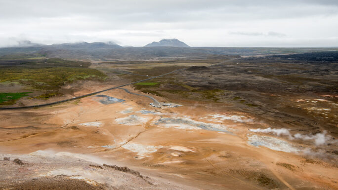
Námafjall
the hike above the Hverir area takes about an hour with some steep sections
Múlagljúfur
about 2 km into nature; the new parking area adds a few hundred meters of flat walking
Mælifell
the hike to the summit is quite short, direct, and intense
Löðmundur
the peak is 5 km from the parking area with 500 m elevation gain
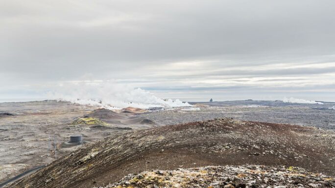
Leirhnjúkur
about a 20-minute flat walk from the parking area over easy terrain
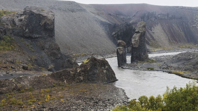
Karl og Kerlingin
about 1500 meters from the parking area to these rock pillars, the “petrified trolls”
Sólheimajökull
the glacier tongue on the south coast is about a 25-minute walk from the parking lot
Strútslaug
a multi-hour hike through Icelandic highlands to this geothermal pool
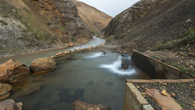
Borholan
a geothermal pool about 20 minutes on foot from Kerlingarfjöll highland base
Kirkjan
a cave in the Hljóðaklettar rocks about a 30-minute walk from the parking area
Hafragilsfoss
you can reach the waterfall via the west bank of the Jökulsá á Fjöllum river; it is a demanding hike
Grundarfoss
about a 25-minute easy walk
Gjarfoss
a waterfall in Gjáin valley; about 15 minutes from the upper parking lot, including a river crossing
Eldgjá
you can drive into Eldgjá canyon and explore many trails on foot
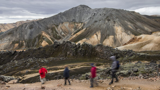
Brennisteinsalda
an easier peak in Landmannalaugar; about one hour if you want
Bláhnjúkur
about 3 km from Landmannalaugar with 350 m elevation gain
Saxhóll
Hafrahvammagljúfur
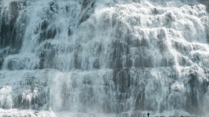
Dynjandi
from the lower parking lot it’s about a 1 km hike up past six smaller waterfalls; if you’ve seen everything in Iceland, you can continue to the upper edge from road 60
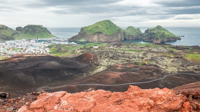
Eldfell
a place formed in 1973; apparently you can still fry eggs on hot rocks here
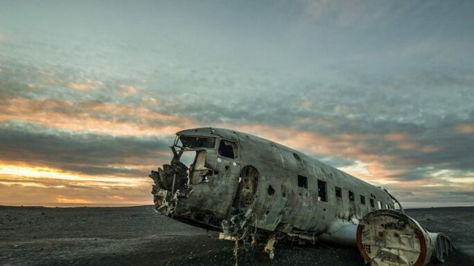
Abandoned DC-3
it takes about 1.5 hours round trip to the plane; whether it’s worth it is up to you
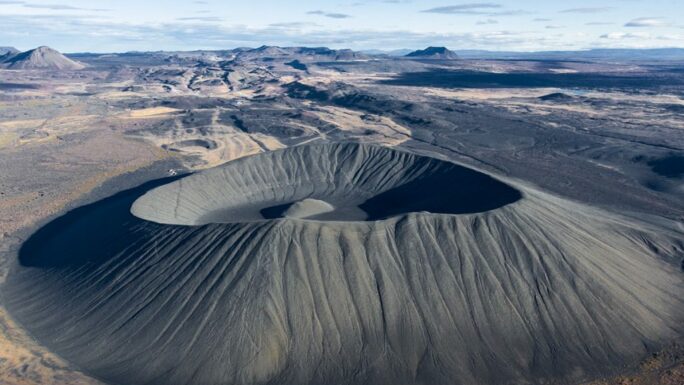
Hverfjall
about a 1–1.5 hour walk up and around the crater
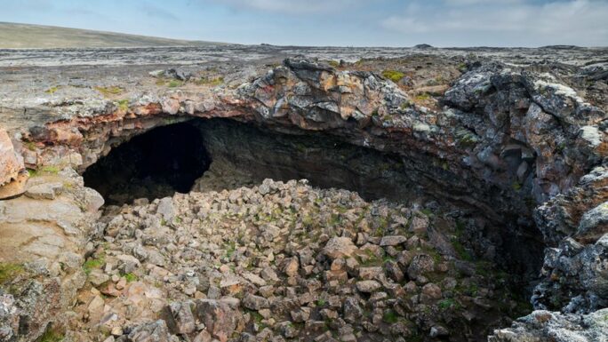
Surtshellir
there are countless surface trails; here you can plan a lava tunnel route—if you have the skills, knowledge, and equipment
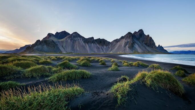
Vestrahorn
you can walk around Vestrahorn; from the tunnel turn right onto the local road and head out—it takes about 2 hours to Stokksnes
Tungnaarfellsfoss
a small 30-minute detour from road F208 toward Landmannalaugar
Þríhyrningur
about 1.5 hours to the peaks from the parking area
Strútsfoss
about a 30-minute walk from the parking lot
Snæfell
a roughly 7-hour round-trip hike to Iceland’s highest mountain (bring crampons)
Lambafoss
a short detour from the eastern bank of Lagarfljót
Laki
the hike from the parking area takes about 30 minutes; the trail is about 1 km but with 200 m elevation gain
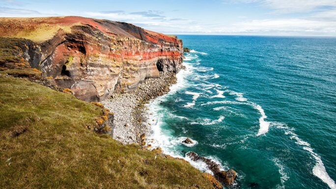
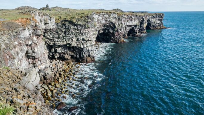
Krýsuvíkurberg
beautiful cliffs on the Reykjanes peninsula
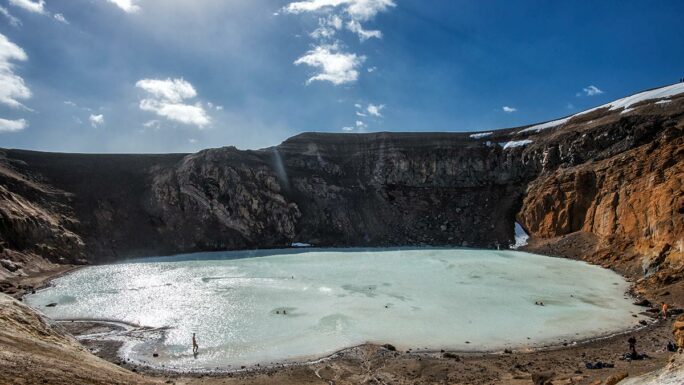
Víti (Askja)
about 2.5 km from the parking lot to the geothermal crater lake
Grímsey
the island is about 12 km around, so you can try to walk it between ferry arrival and departure
Flogufoss
a short hike over mostly flat but unmarked terrain
Studlafoss
a waterfall on the so-called waterfall circuit, about 8 km long
Kirkjufoss
a waterfall on the same 8 km waterfall circuit
Faxi East
a waterfall on the same 8 km waterfall circuit
Drekafoss
a waterfall at the entrance of Drekagil canyon; about 20 minutes from the camp with some tricky terrain
Kirkja Dimmuborgir
one of the possible destinations in the Dimmuborgir area
Bunarfoss
a waterfall visible directly from the campsite near Ísafjörður; you can also hike further into the mountains along it
Búðaráfoss
a waterfall a few dozen minutes up the valley above Reyðarfjörður
Bolafjall
a hike on top of the mountain with views over Ísafjarðardjúp fjord and the Hornstrandir area
Hópsnes Grindavík
a 6 km walk around the Hópsnes peninsula, decorated with shipwrecks and structures
Ófærufoss
a waterfall in Eldgjá crater; about 45 minutes walking upstream from the parking area
Hlauptungufoss
a waterfall on one of the routes to Brúarfoss
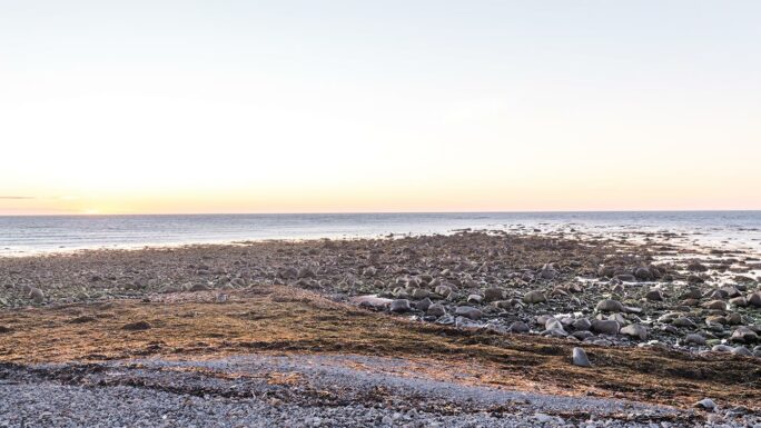
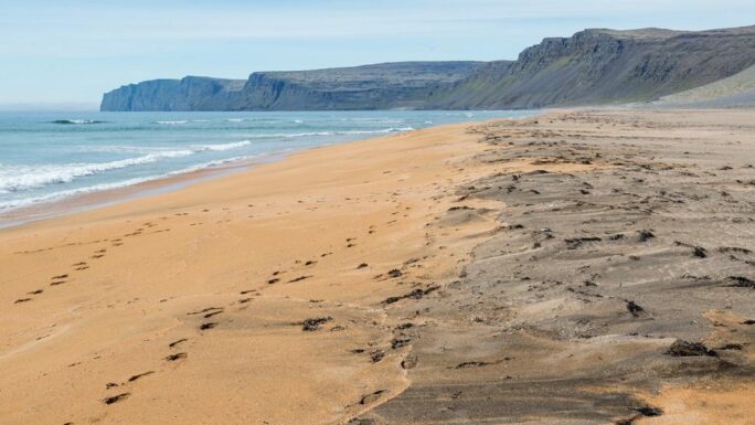
Rauðisandur
the beach is about a 30-minute walk from the parking lot and is so large you can walk all day—just be careful to go at low tide, otherwise you may need to wade through seawater on the way back
Blátindur
a peak on Heimaey island
Stigafoss
about 20 minutes of slightly adventurous terrain from road F249, including small river crossings
Dynkur
from the east side it’s about another hour of walking to the waterfall
Vestdalsfossar
about 15 minutes uphill from the parking area; you can extend the hike for several kilometers above the waterfalls
Rauðibotn
about 20 minutes from the parking area to the crater rim, but expect plenty of walking around the area
Helgafell
a crater hike on Heimaey island
Haukadalur
the Geysir geothermal area offers many options for short walks and exploration
Heimaklettur
a steep climb right from the harbor on Heimaey; includes ladders in one section
Reynisfjall
a hike above Vík í Mýrdal with unusual views of Reynisfjara and the south coast; you’ll be there in about an hour
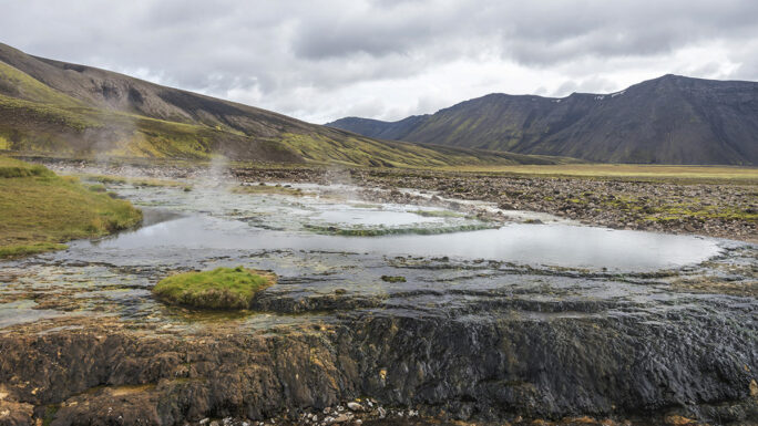
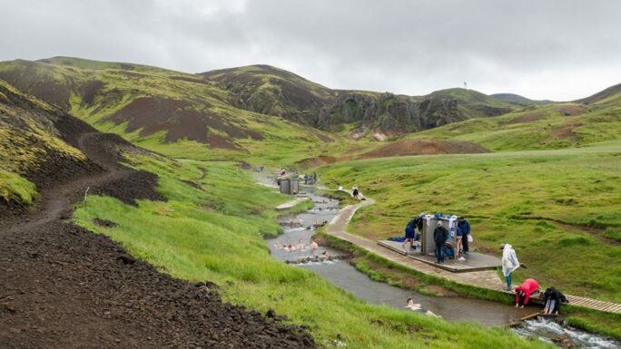
Reykjadalur
one of the most pleasant hikes in Iceland: about 3 km uphill from the parking lot to a geothermal river at the end
Rauðfeldsgjá
a rock fissure about 10 minutes uphill from the parking area; you can even enter the mountain itself
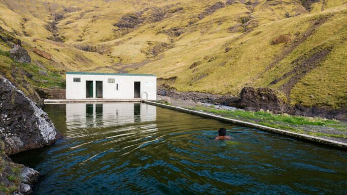
Seljavallalaug
about 10 minutes of fast walking from the parking lot to the Seljavallalaug pool; you can extend the hike further inland
Hjörleifshöfði
a former island near Vík í Mýrdal that you can reach in a few dozen minutes
Hekla
from the upper parking area it’s still a 3 km hike over difficult terrain; reaching the parking requires a proper Icelandic off-road vehicle—this is serious hiking
Hafnaberg
about a 30-minute walk over a flat lava field to the cliffs
Grábrók
you can walk around the craters in a few dozen minutes
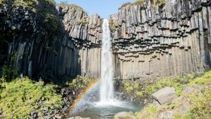
Svartifoss
a waterfall accessible by a 30-minute hike from the Skaftafell visitor center/campground
Látrabjarg
the most popular spots are just a few meters from the parking lot; otherwise you can walk the full 14 km cliff line
Skútafoss
a small waterfall about 5 minutes from the parking lot
Sigöldugljúfur
a canyon nicknamed the “Valley of Tears,” about 15 minutes from the parking lot; in winter about 45 minutes from the usual accessible point
Reykjafoss
about 15 minutes from the parking lot over easy terrain, with the Fosslaug geothermal pool nearby
Hvannagil/Raftagil viewpoint
a roughly 3-hour trek with an optional loop through two canyons
Glymur
a roughly 4-hour hike to Glymur waterfall with 250 m elevation gain
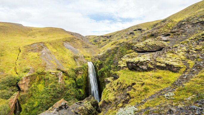
Fardagafoss
a waterfall located just outside the town of Egilsstaðir in East Iceland
Eldborg
a crater you can explore from inside; about 30 minutes when entering Snæfellsnes peninsula
Dimmuborgir
a walk through a lava field near Lake Mývatn
Brúarfoss
a waterfall I’ve approached via about three different routes; they keep changing the parking areas
Drynjandi
if the end of road F649 already feels like the end of the world, Drynjandi is another 2 hours beyond that. No road leads here—you’re on your own
Drangafossar
about a 90-minute hike from the parking area to these waterfalls and the edge of Drangajökull glacier
Snækollur
the highest peak in Kerlingarfjöll; part of an 8-hour loop hike that includes river crossings
Vonarskarð
from Nýidalur it’s about a 6-hour walk to this geothermal area
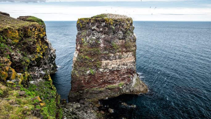
Rauðinnúpur cape
a roughly 30-minute hike to one of Iceland’s most beautiful places for bird watching
Main attractions on the route


Meet an experienced guide in Iceland
10 seasons of experience. 99% chance of nice weather and places you didn't know existed.
