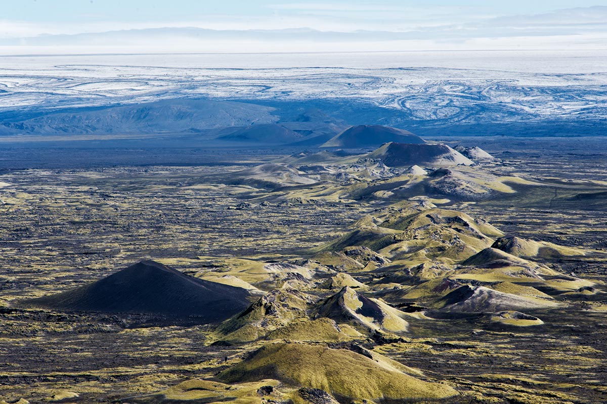
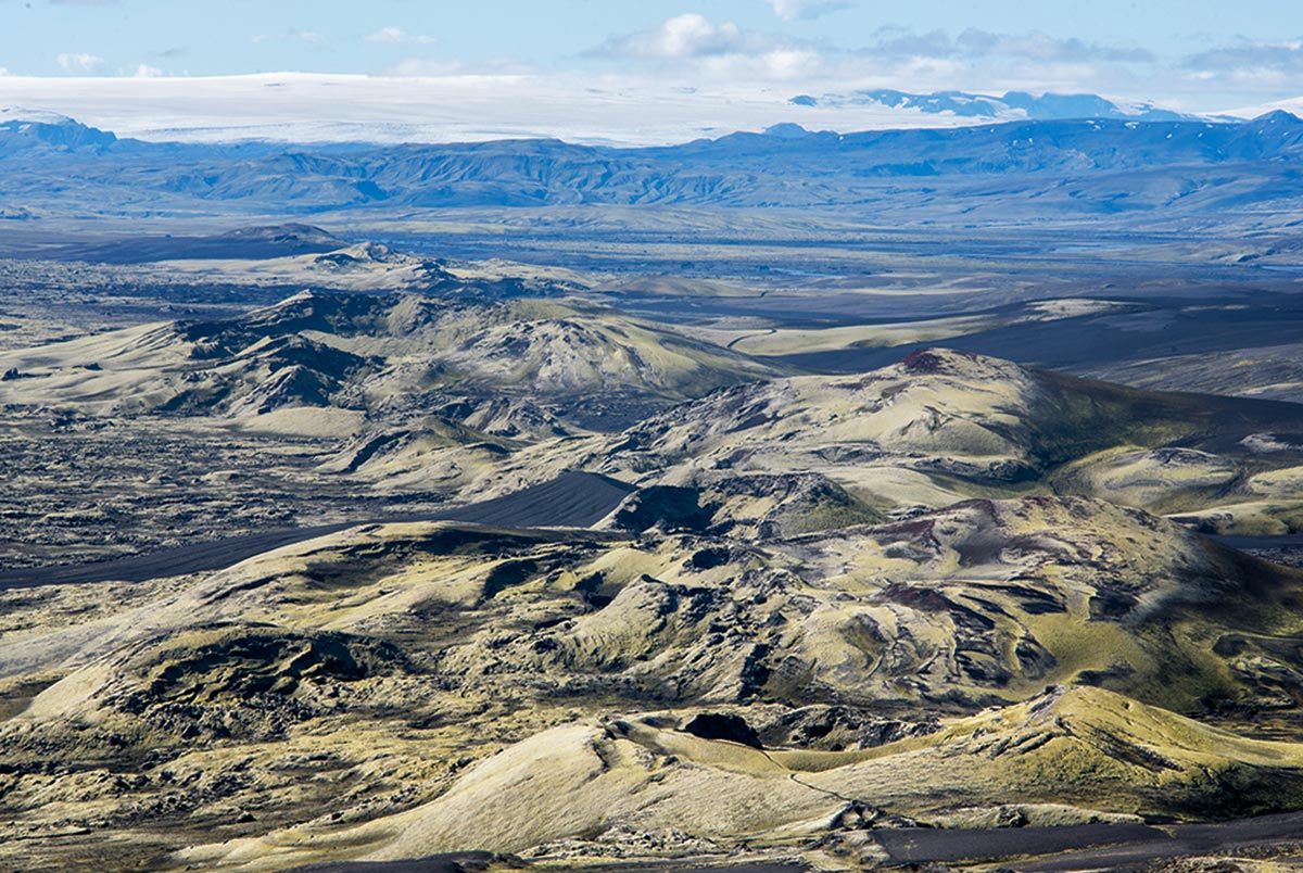
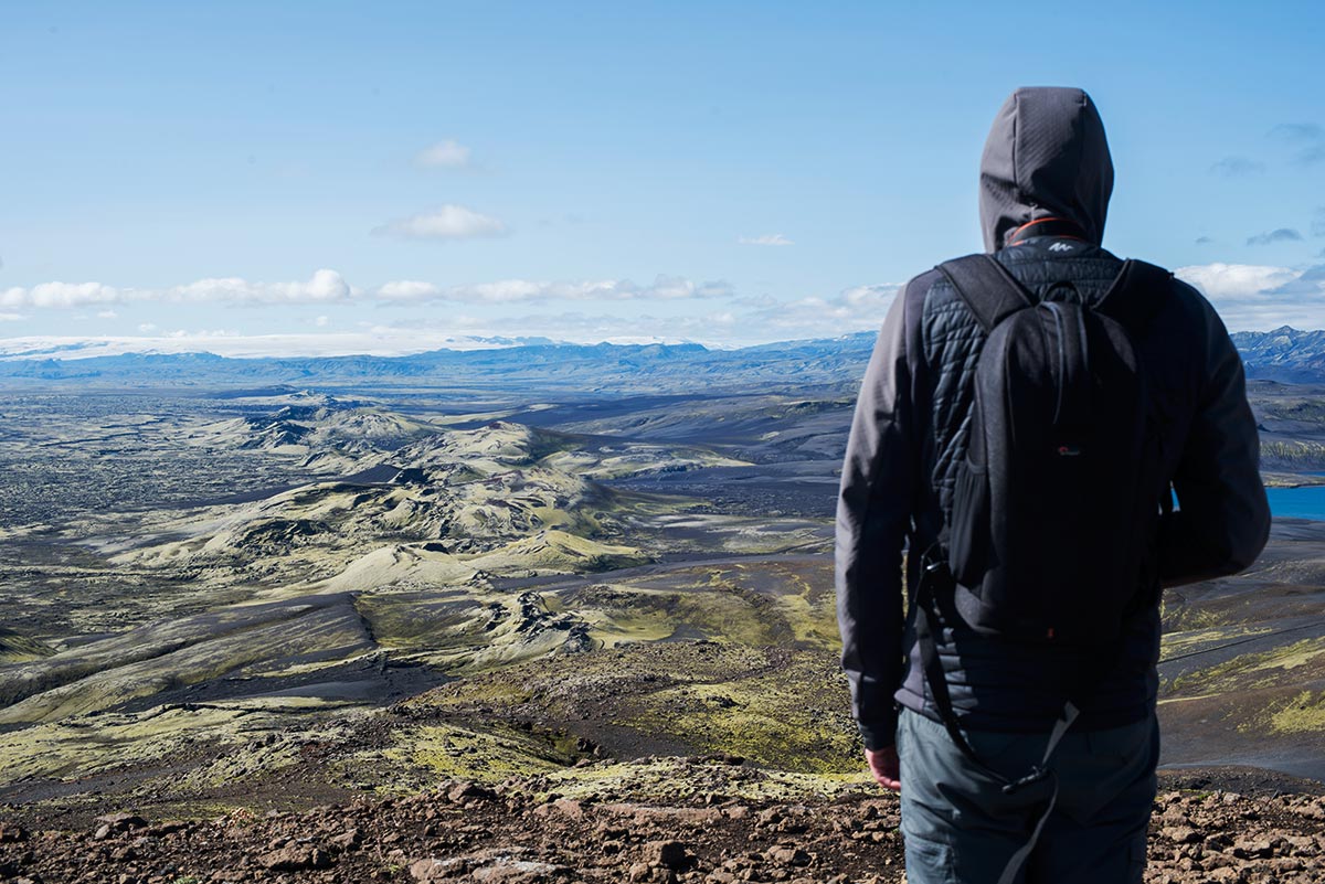
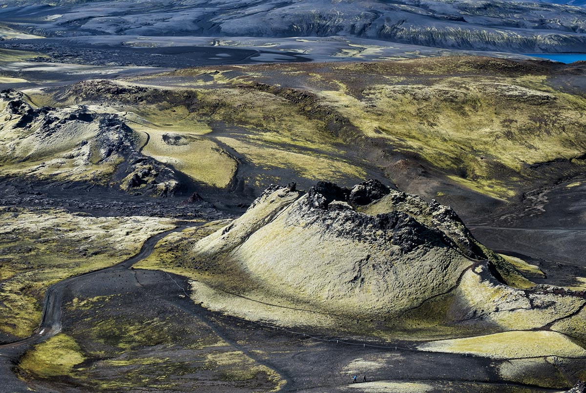
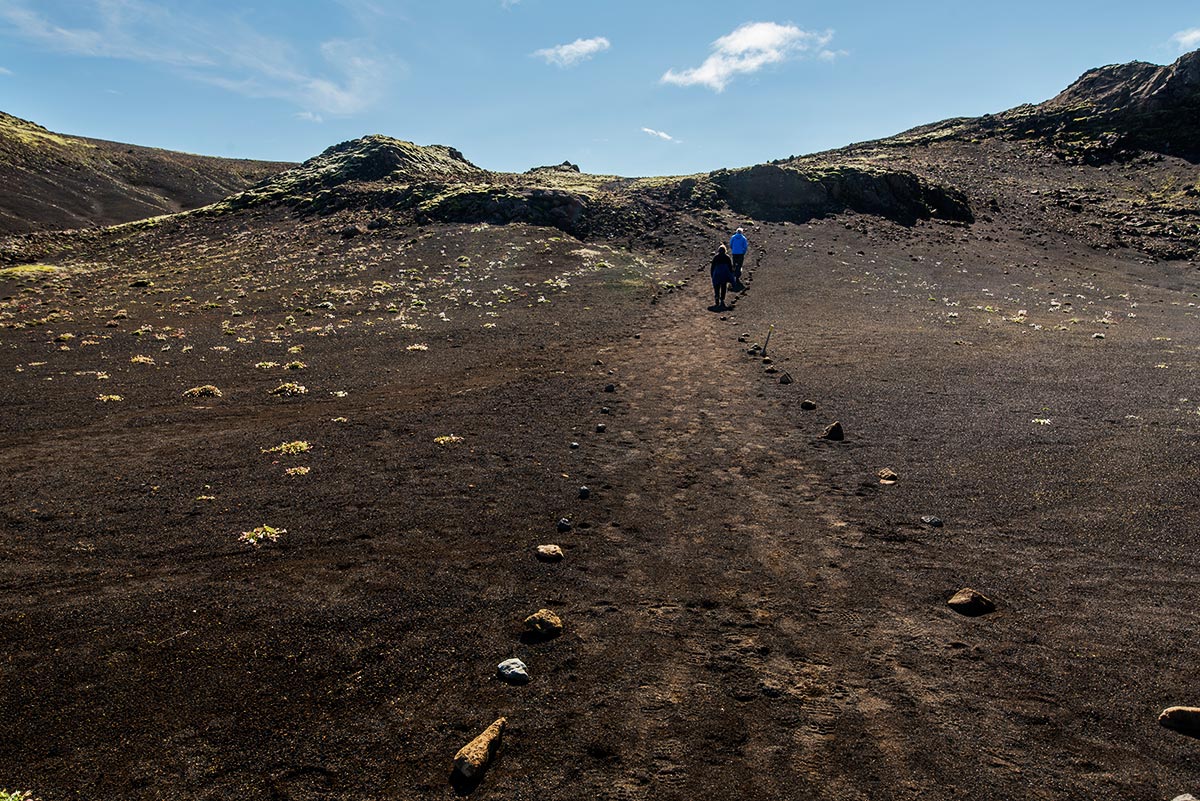
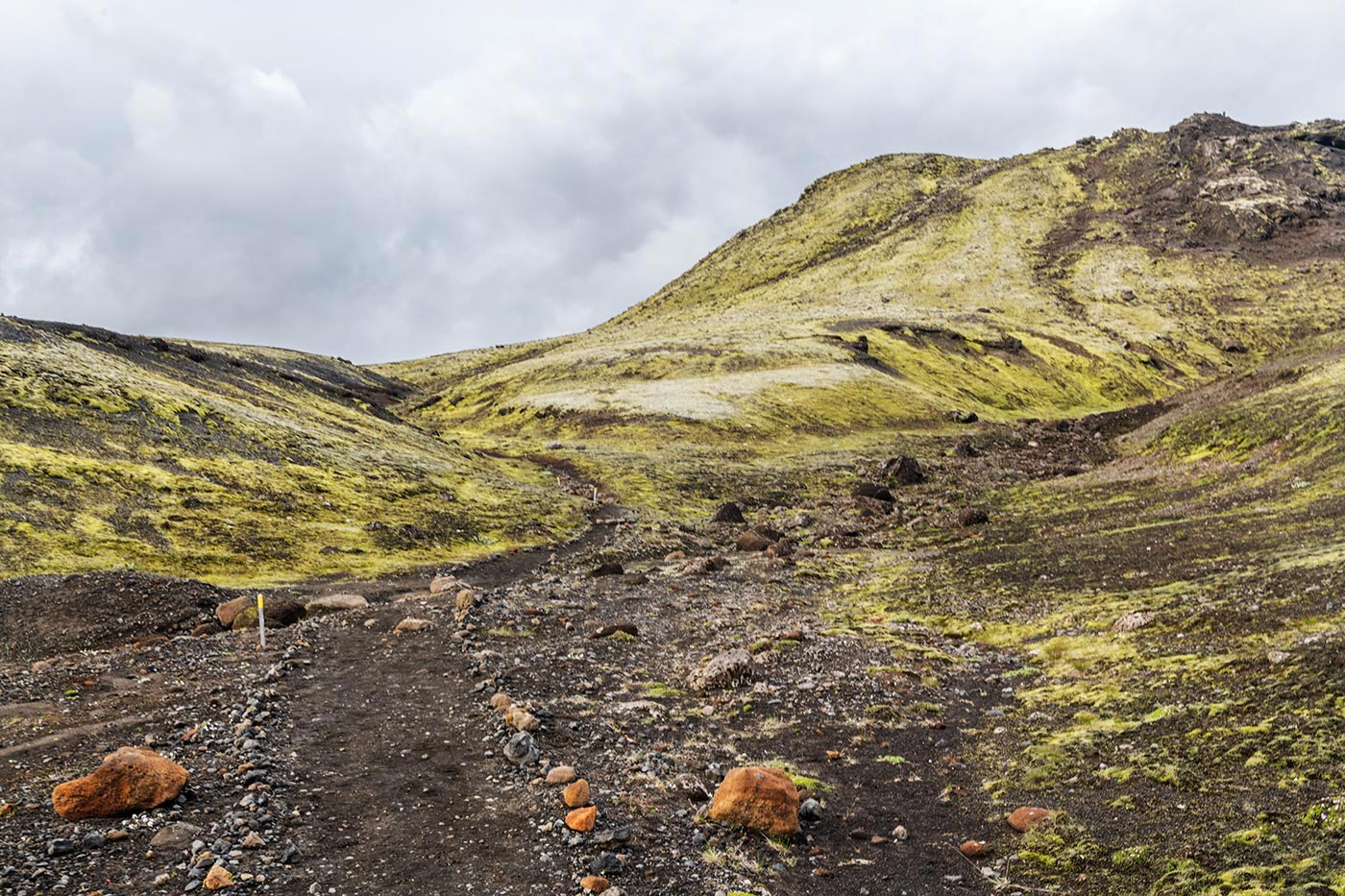
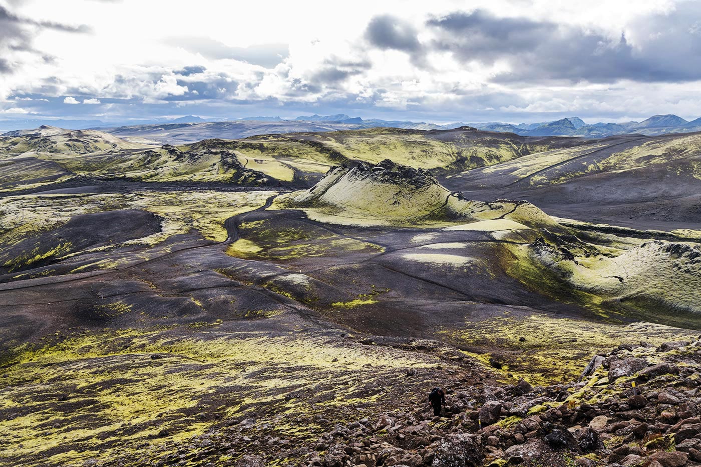
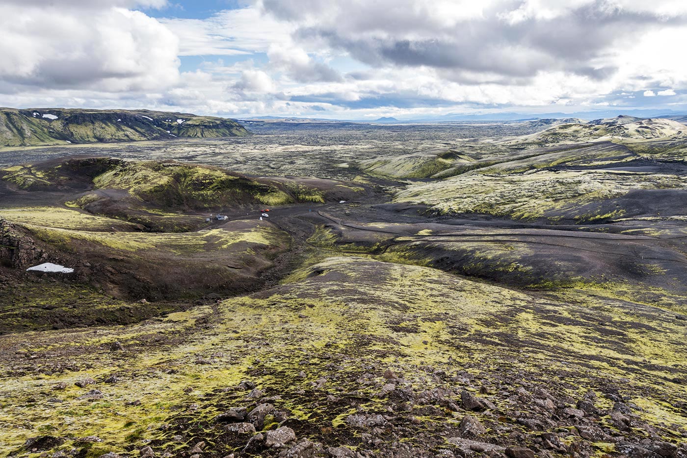
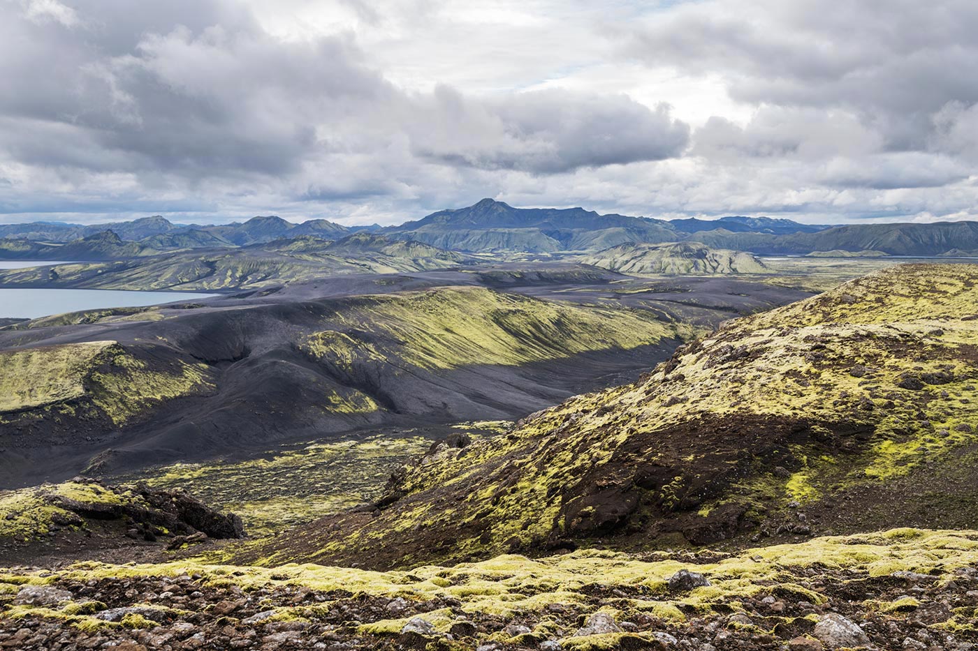
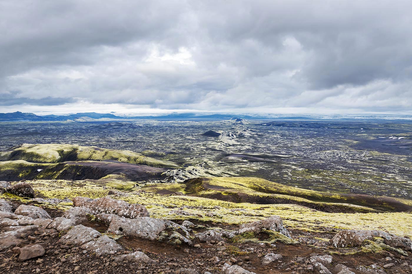
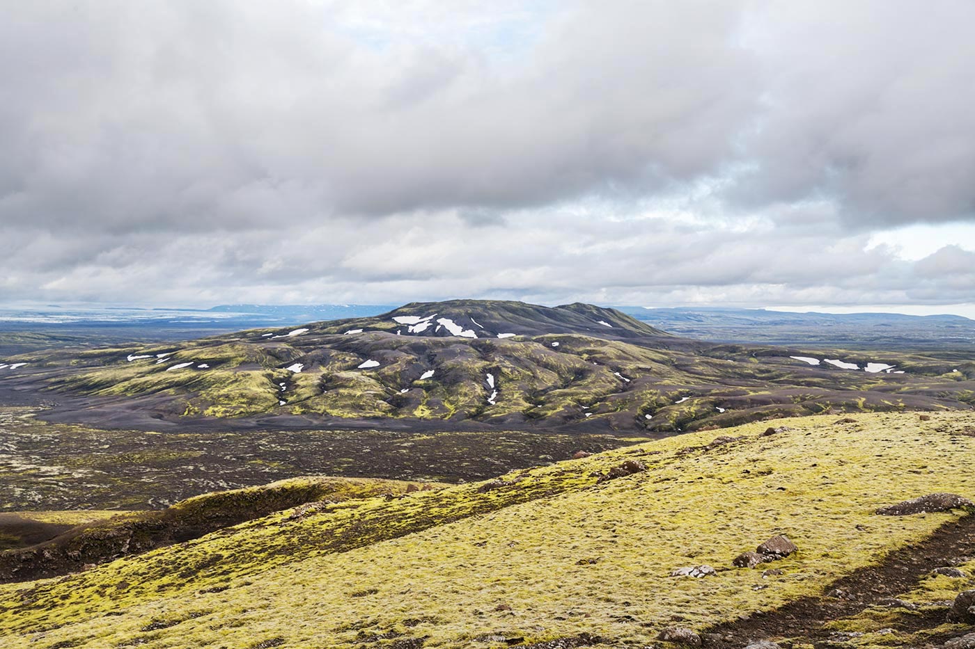
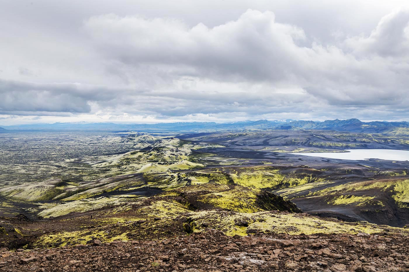
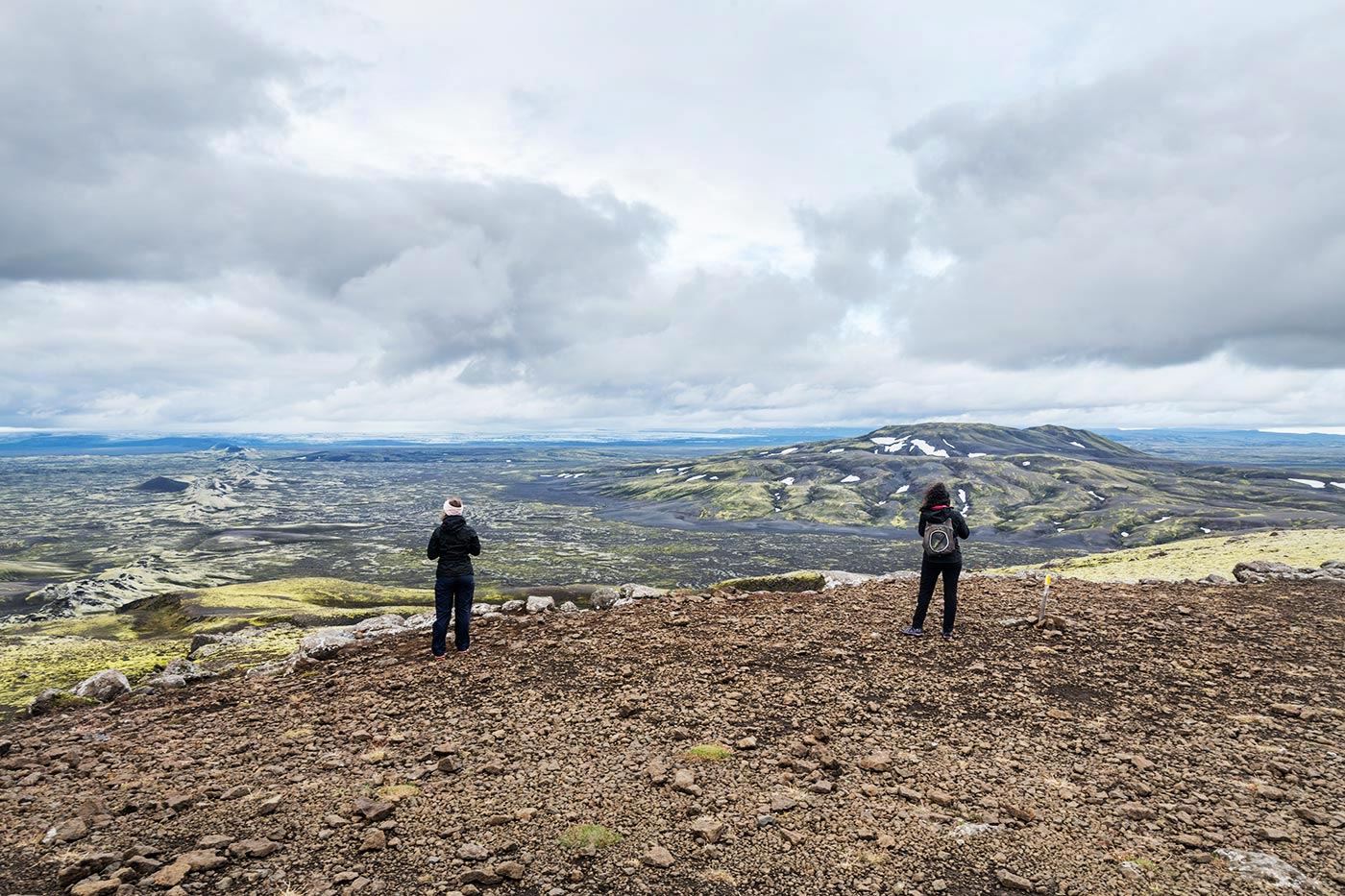
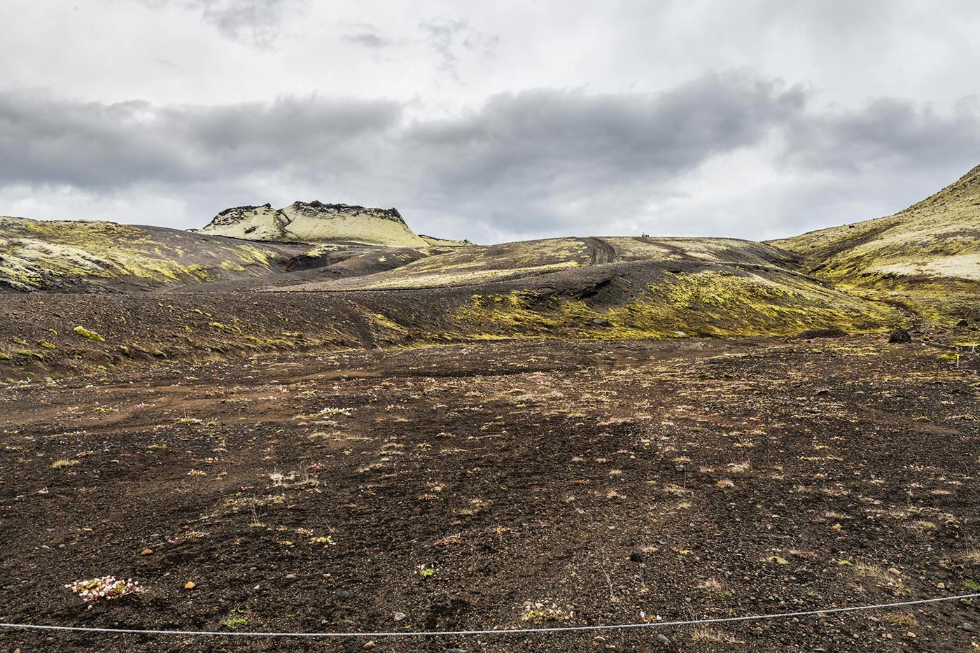
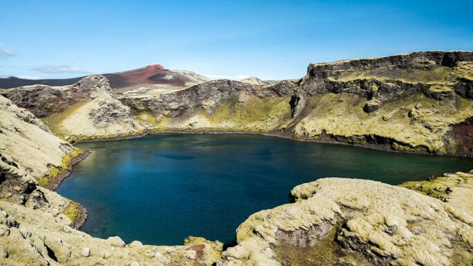
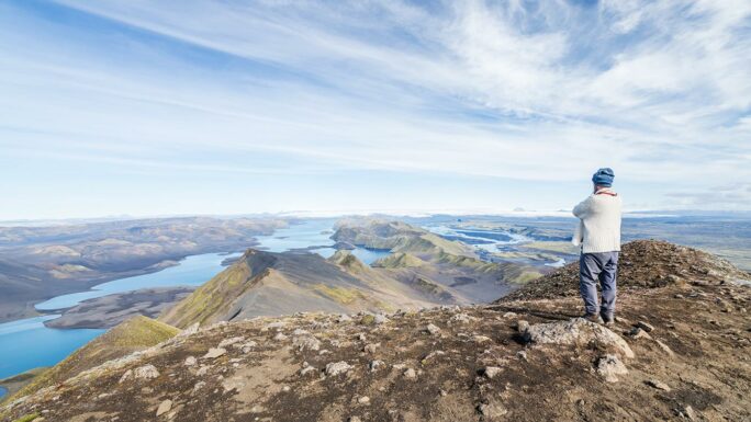
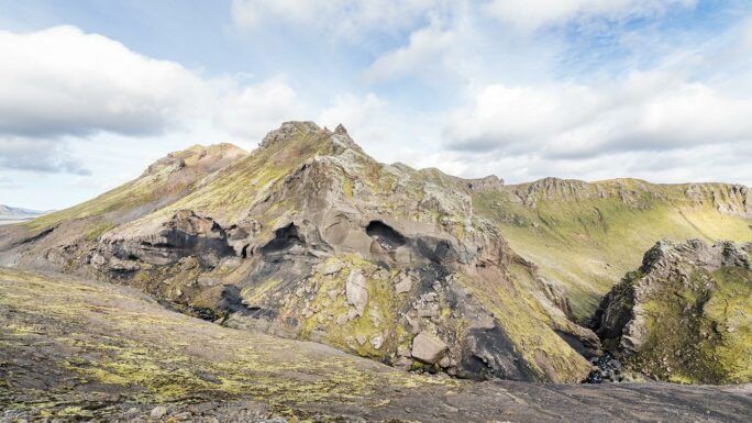
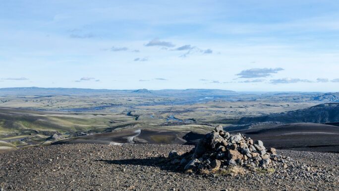
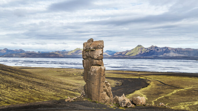
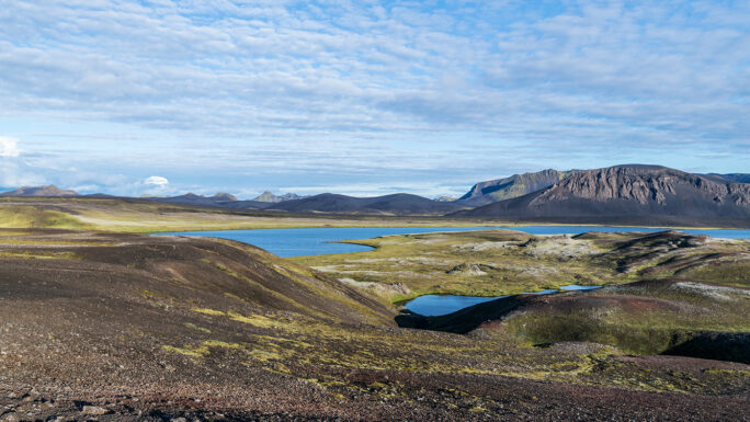
Laki is one of the most remarkable mountains in Iceland. Not because of its prominence, shape, or anything like that, but for the views it offers. You can find it almost in the center of a volcanic fissure called Lakagígar, which consists of 134 craters. These craters were formed during one of the largest volcanic eruptions in history. It all began on June 8, 1783, when the ground split open.
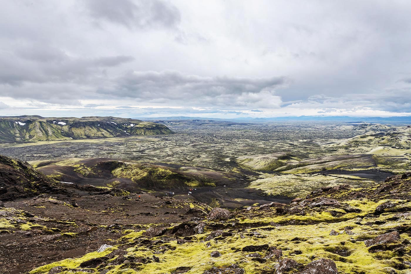
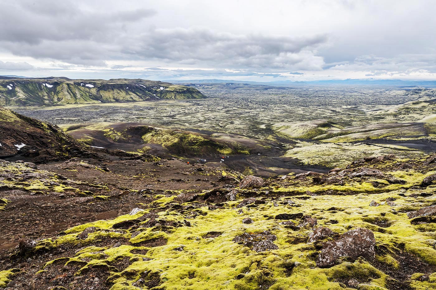
The volcanic activity continued until the end of February 1784, and the final toll was devastating. At least half of all livestock perished, and about 25% of Iceland’s population at the time died. Moreover, this eruption, which spewed about 12 km³ of volcanic material and transformed 565 km² into a lava field, had a significant impact not only on Iceland’s climate but also on the climate across Europe. Historians also believe that these dramatic changes greatly influenced the events leading to the French Revolution.
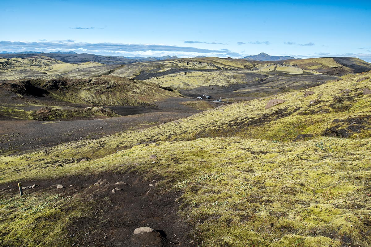
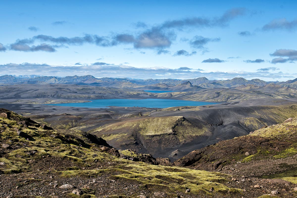
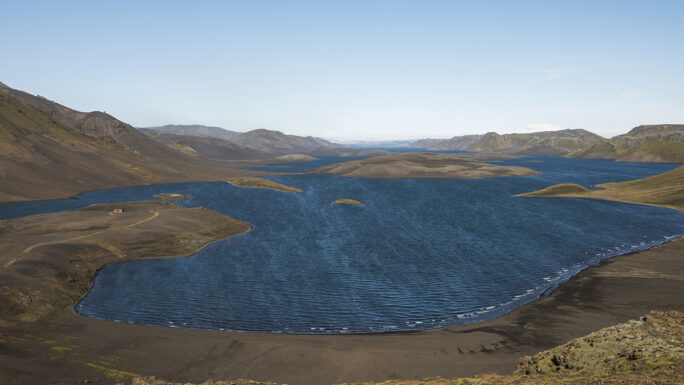
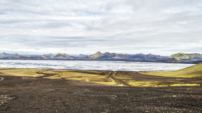
At one end of the Lakagígar craters, you can see the Vatnajökull glacier, and at the background of the other end, the Mýrdalsjökull glacier.
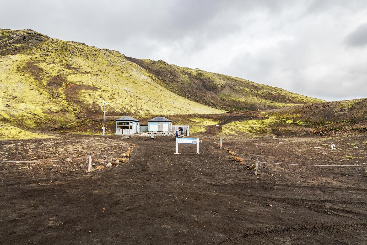
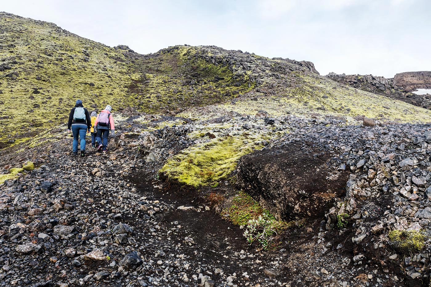
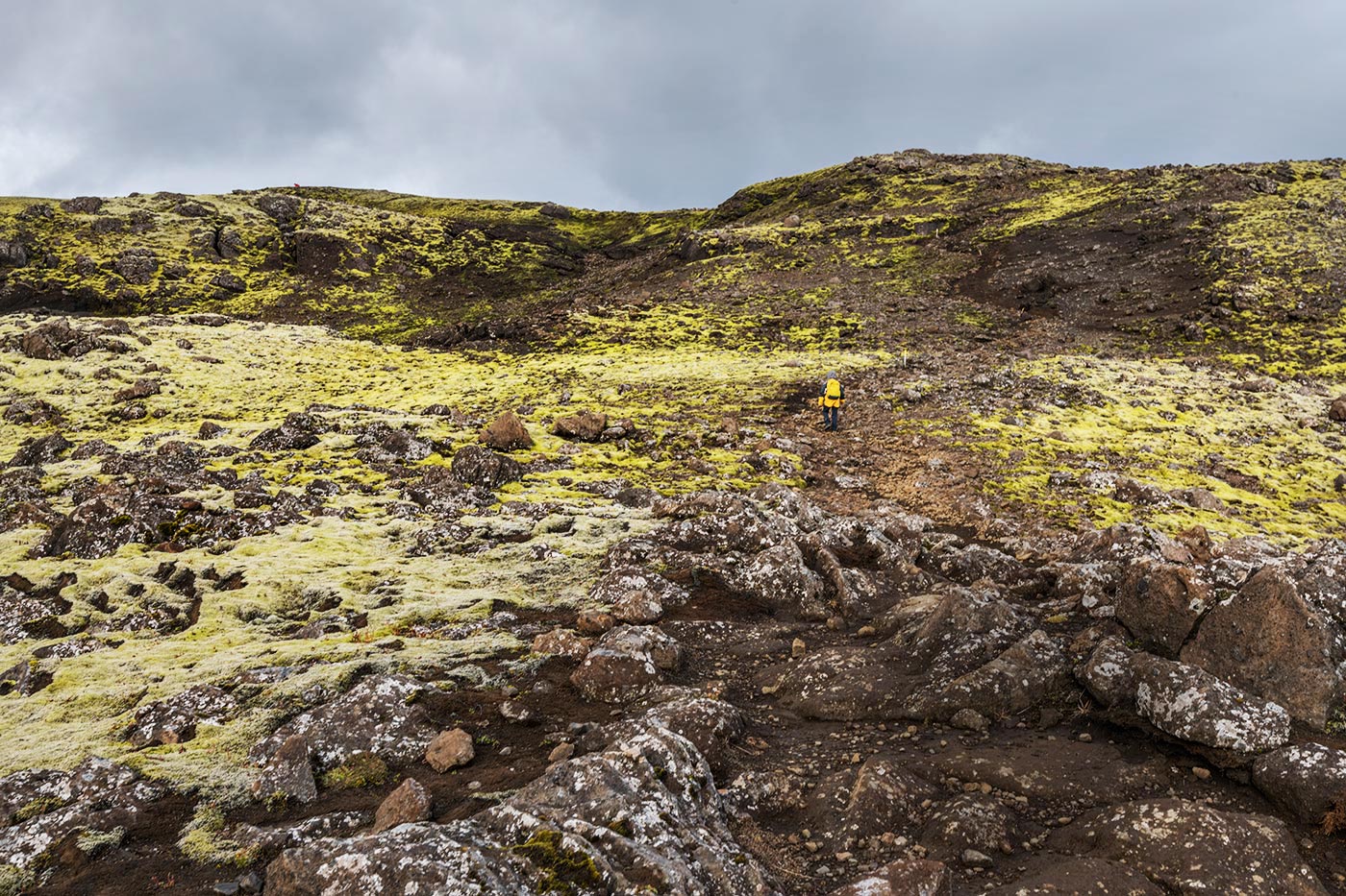
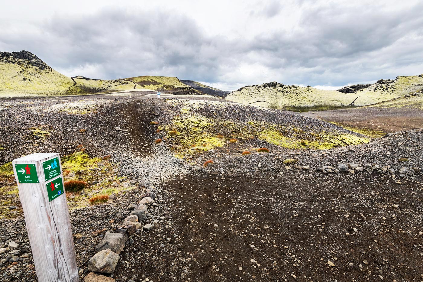
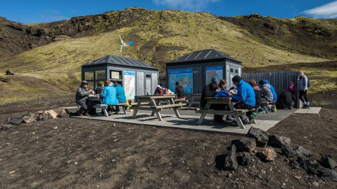
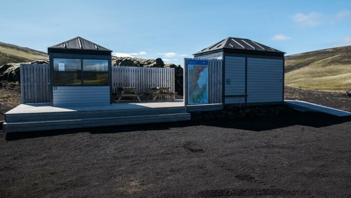
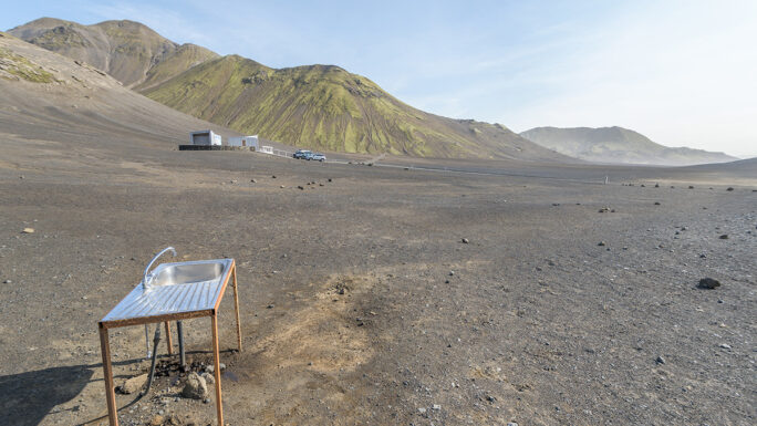
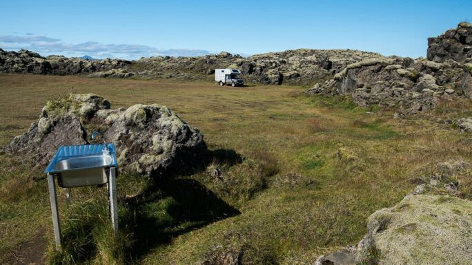
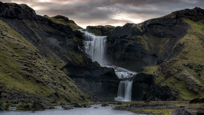
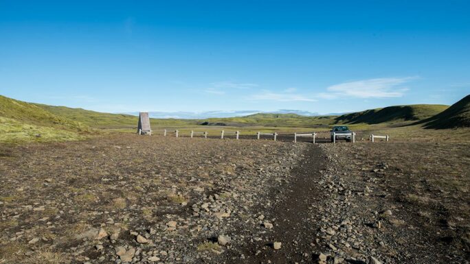
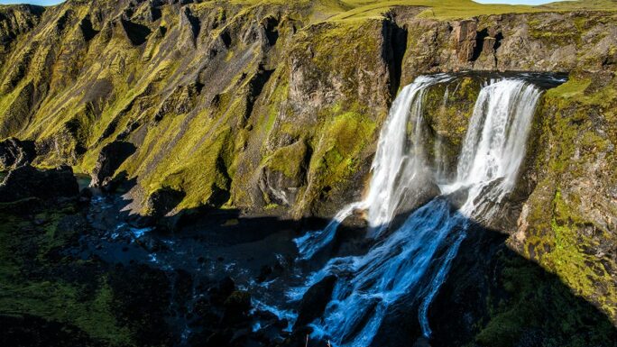
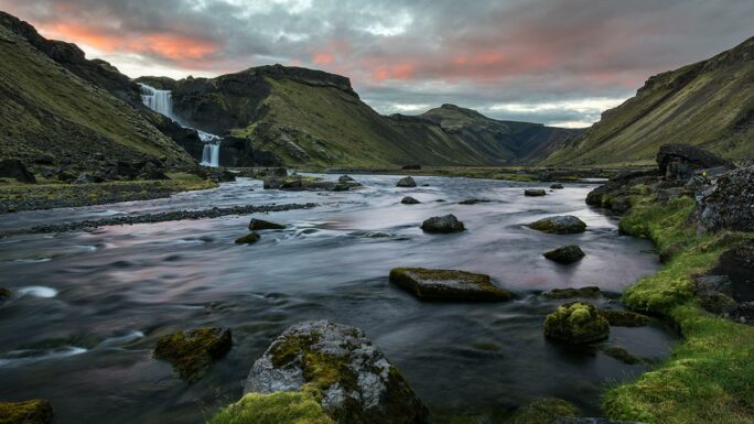
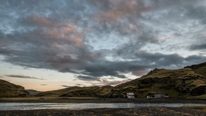
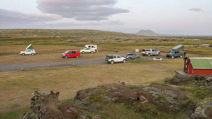
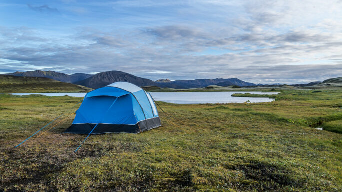
You can find the Laki mountain in Iceland’s interior, about 50 kilometers north of the town of Kirkjubæjarklaustur. The journey takes about 2 hours, leading you past the famous Fjaðrárgljúfur canyon and the Fagrifoss waterfall. Along the way, you need to cross several streams and rivers until you finally reach a parking lot where you can park, use restrooms, and receive advice and instructions from local rangers.