
Kristínartindar

Kristínartindar is a mountain in the Skaftafell area, measuring 1126 meters. You can ascend it starting from the information center, where you can park or stay at the campground. Given that your hike essentially starts at sea level, it’s clear that you have a significant elevation gain ahead of you. And be aware that the most challenging section comes right at the end.
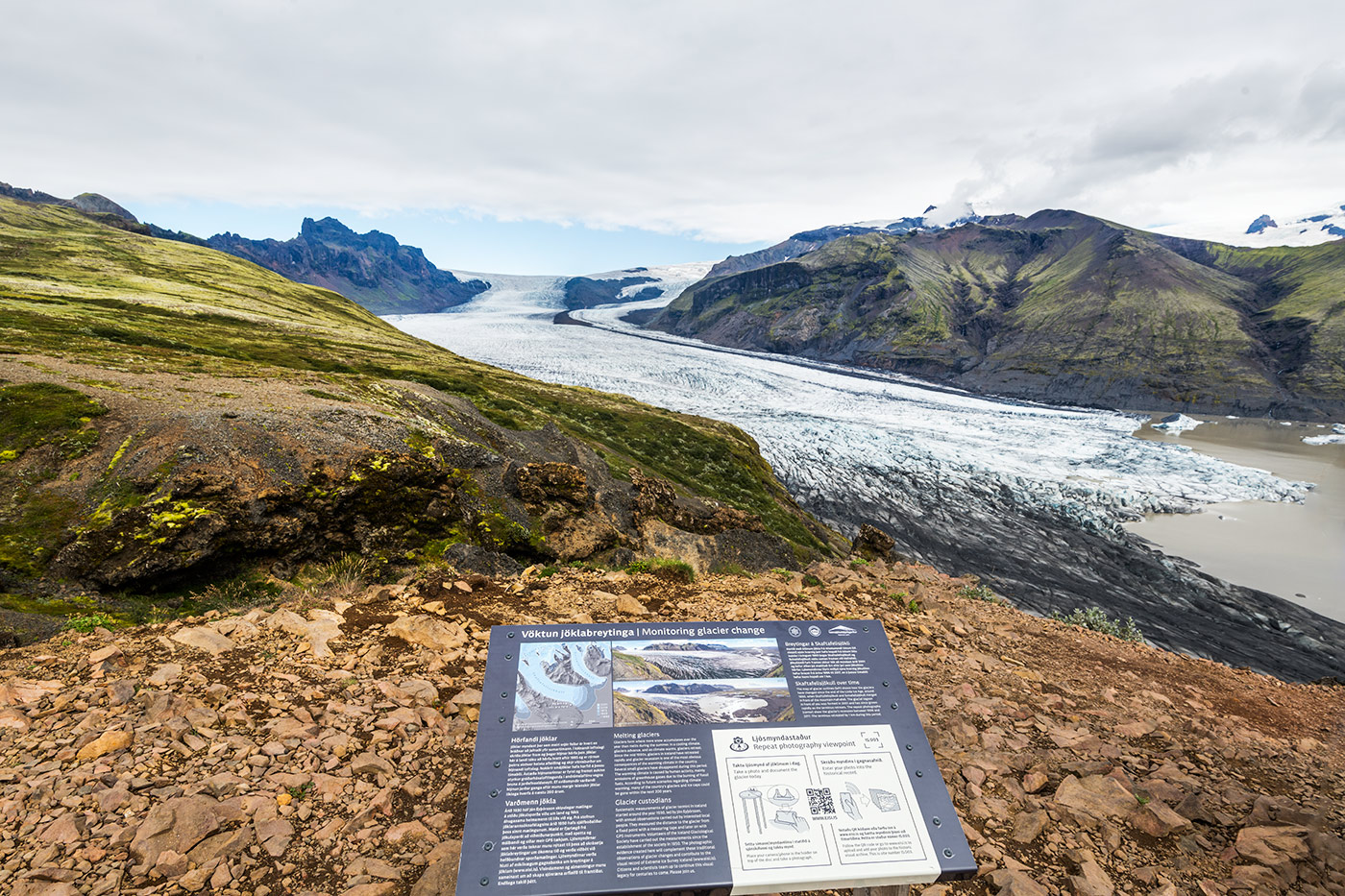
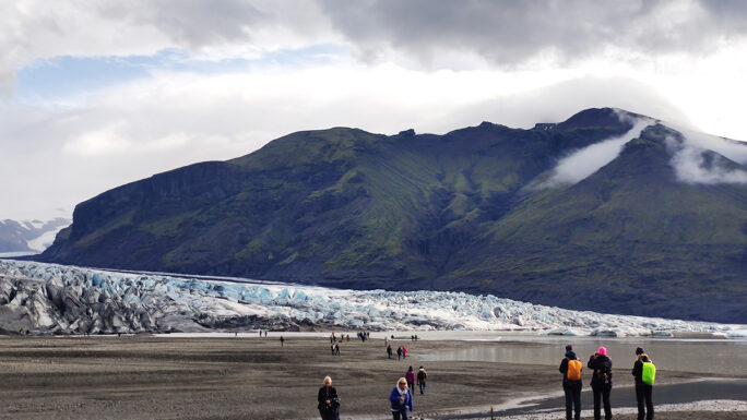
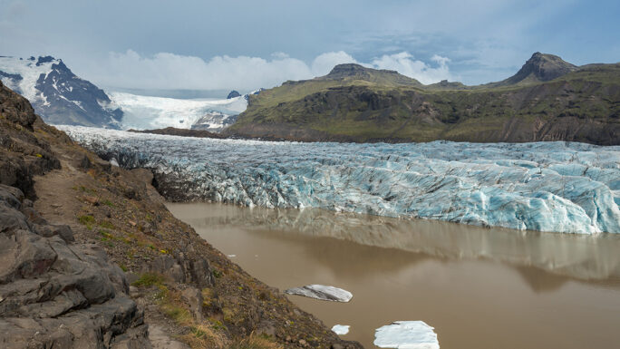
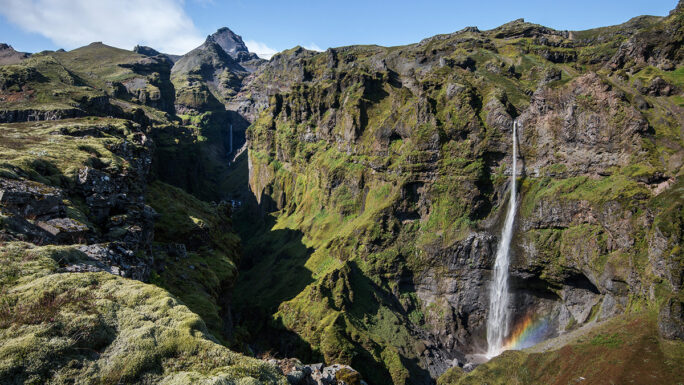
However, your reward will be a view into the Morsárdalur valley, including Iceland’s highest waterfall, and on the other side, the Skaftafellsjökull glacier tongue, views of the mountain ridge, and of course, down towards the ocean.
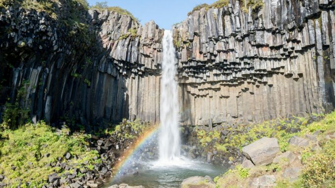
There are two paths leading almost to the top ascent, one along the eastern slope of Skaftafellsheiði, offering views of the Skaftafellsjökull glacier tongue for most of the way, as well as several truly beautiful vantage points. The other option leads more inland, around the Svartifoss waterfall, and with this route, you’ll have the approaching Kristínartindar continuously in sight.




Text & Photos by RubΣn
A guy with extensive knowledge of Iceland, a secret formula for nice weather and a map to places you didn’t know existed.

Materials for download
Explore 150 Breathtaking Icelandic Locations

Clever map of Iceland – digital version (44MB)










Meet an experienced guide in Iceland
10 seasons of experience. 99% chance of nice weather and places you didn't know existed.
