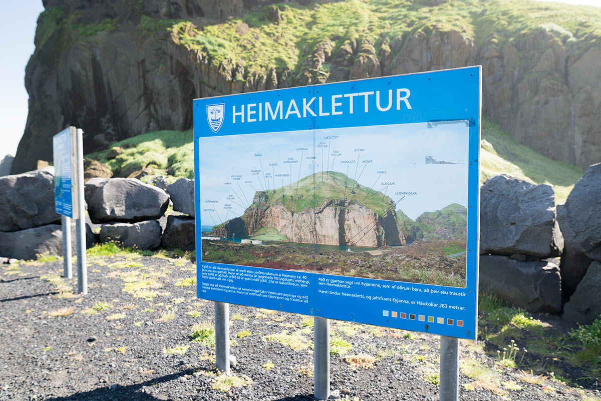
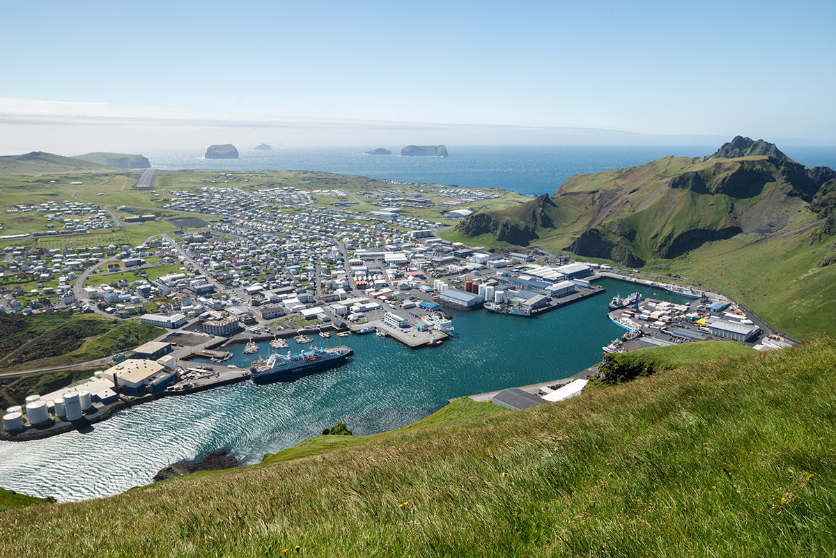
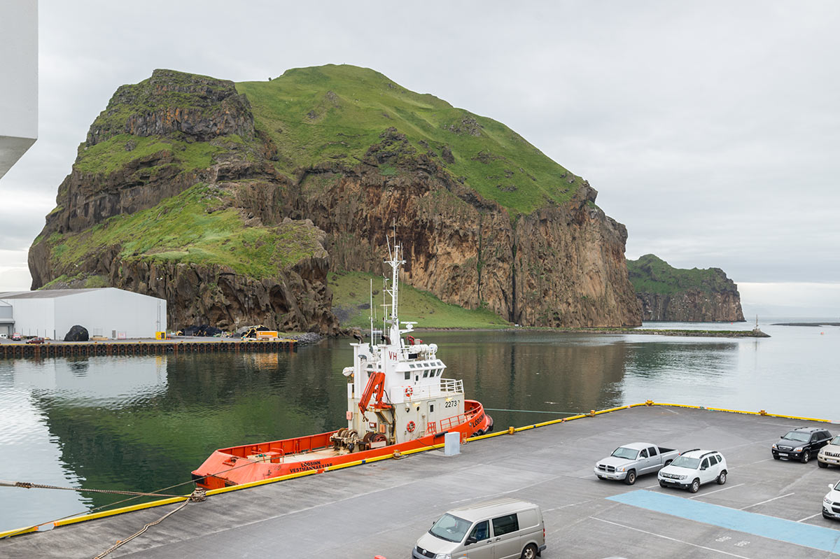
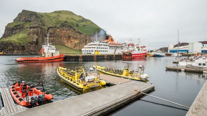
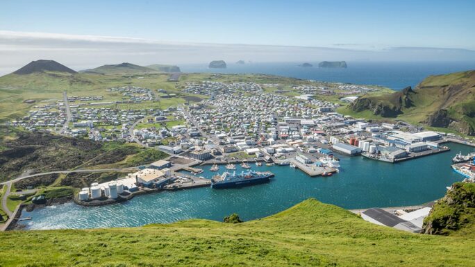
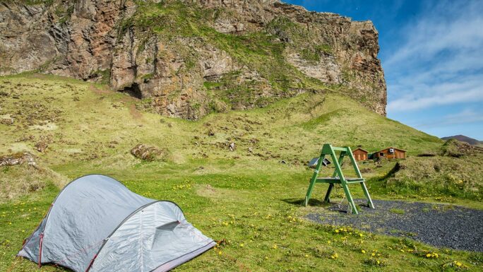
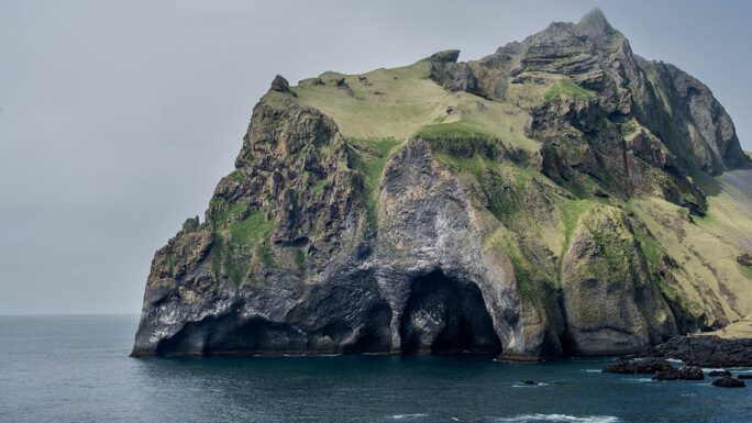
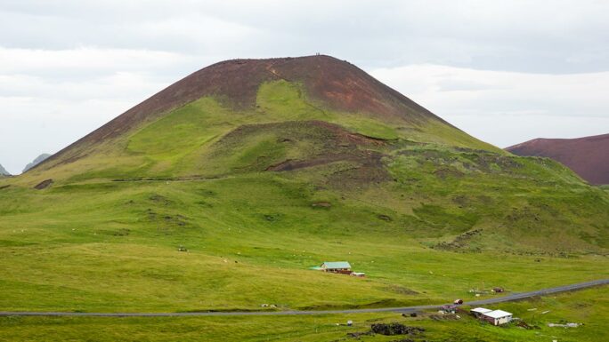
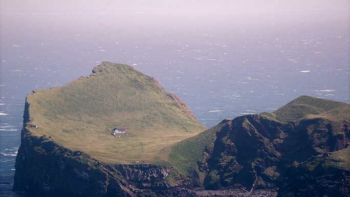
Heimaklettur
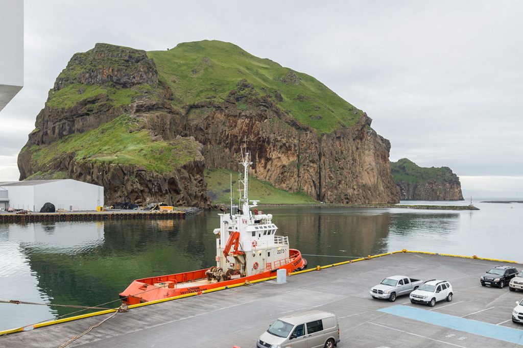
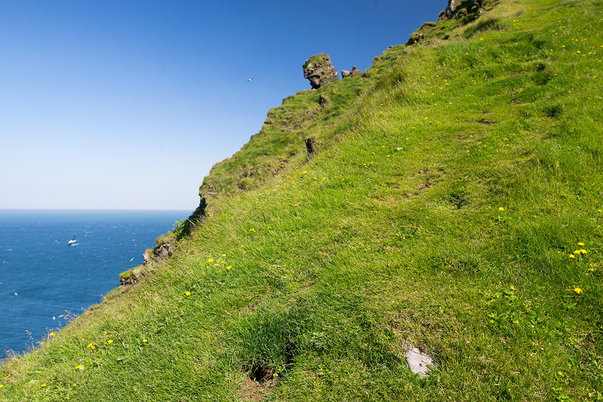
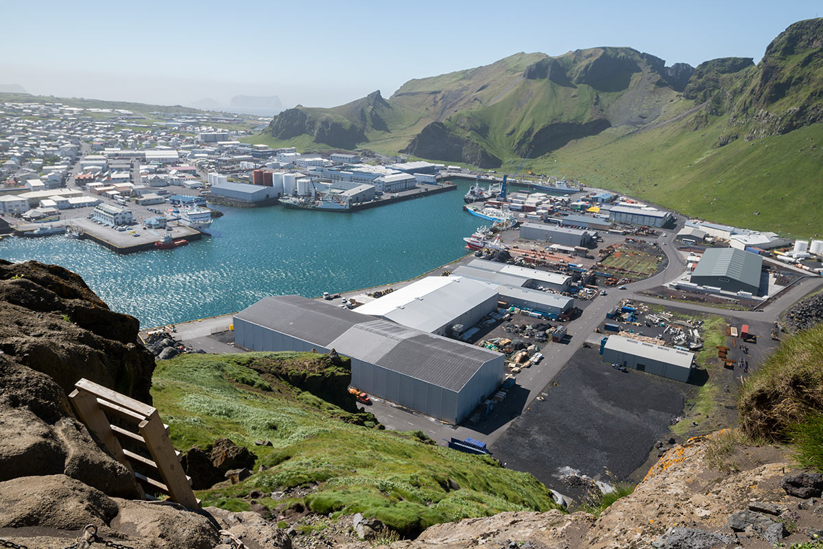
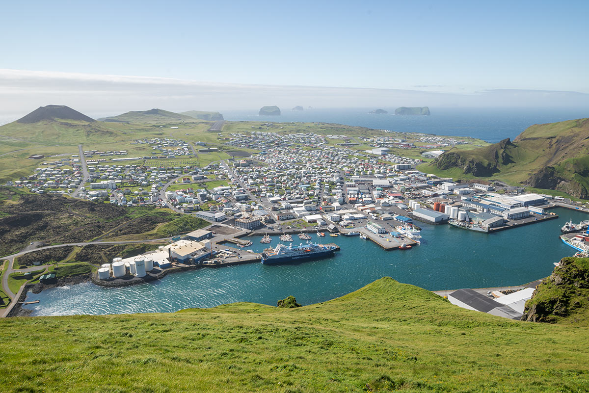
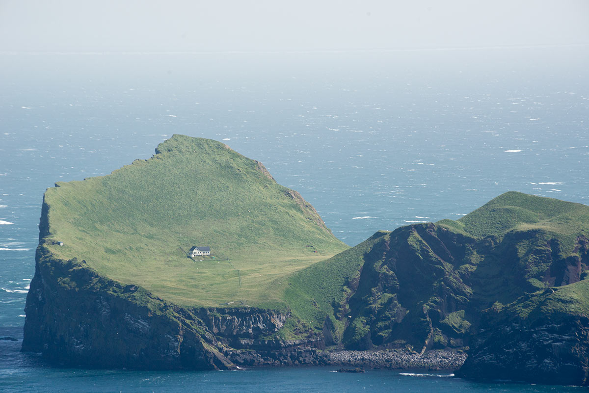
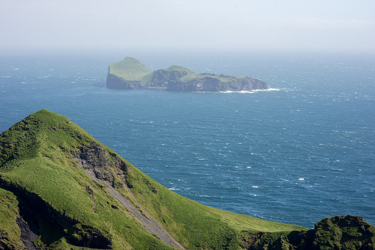
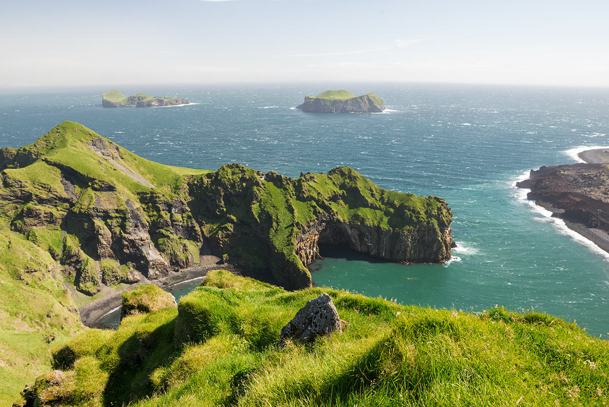
Heimaklettur Peak, which means ‘home rock,’ was formed approximately 13,000 years ago by a subglacial eruption and is the oldest part of Heimaey Island. It is one of the most prominent features and, at 283 meters, also the highest point of the Vestmannaeyjar archipelago. From the summit, there are beautiful views of the archipelago, the town, the Icelandic mainland, and the Eyjafjallajökull glacier.
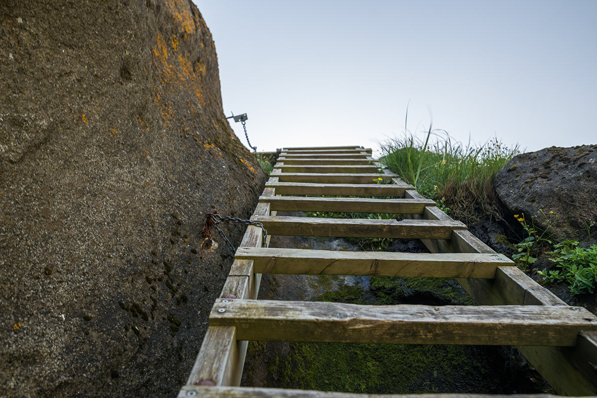
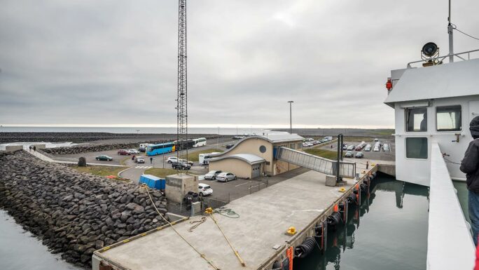
You can see Heimaklettur right from the harbor in Vestmannaeyjar. Climbing Heimaklettur is not for everyone; it requires ascending several very steep ladders and dealing with areas where maintaining stability is challenging. It is not recommended to climb Heimaklettur during or after rain or when there is ice.

Materials for download
Explore 150 Breathtaking Icelandic Locations

Clever map of Iceland – digital version (44MB)

Main attractions on the route
Meet an experienced guide in Iceland
10 seasons of experience. 99% chance of nice weather and places you didn't know existed.
