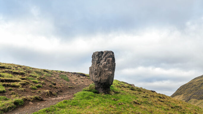
Branches from the Ring Road – multi info
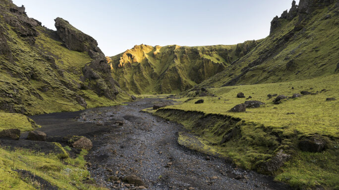
The Ring Road in Iceland is like a thin red line, and what is wonderful about it is that if you stick to it, you will see a great deal of interesting things. This overview is not an itinerary in the true sense of the word — it lists interesting places that have the power to delight your soul with their beauty, and to which you need to make a detour from the Ring Road. It loosely follows the Ring Road itinerary, and for each location information about accessibility and time requirements is provided. The places are listed counter-clockwise, starting just beyond the town of Selfoss.
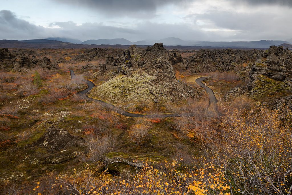
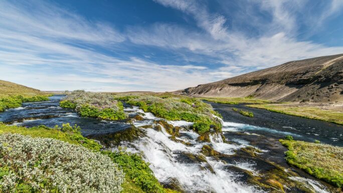
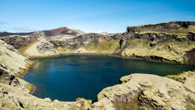
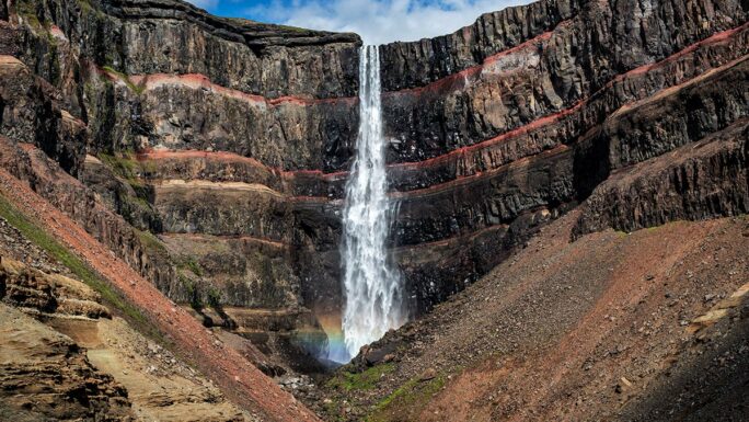
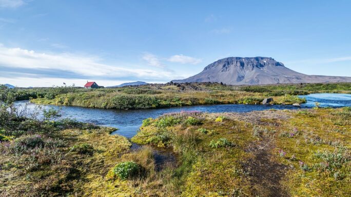
1. Hjálparfoss · Gjáin · Háifoss · Fossabrekkur · Þjófafoss · Sigöldugljúfur · Sigöldufoss
From the RR we turn north on road 30, then 32, and return via road 26.
By car: 165 km (+100 km) · Driving skills: 1.5/5 · On foot: 1–2 km (+3 km) · Time: 5–6 hrs (+3 hrs) · Season: summer (partly in winter)
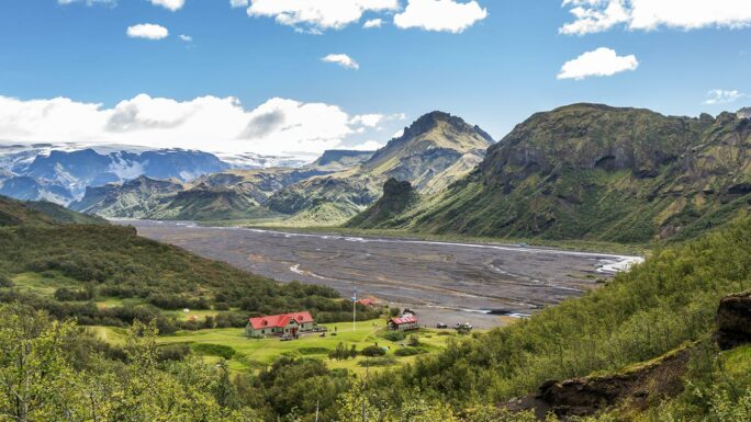
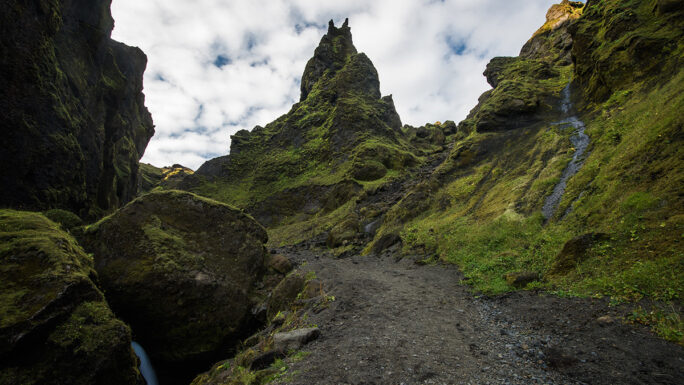
2. Þórsmörk · Stakkholtsgjá · Sticafoss · Nauthúsagil
At the Seljalandsfoss waterfall we continue along road F249.
Road F249 has several glacial rivers, each of them unpredictable and dangerous. If you do not have sufficient experience, this detour is not suitable for you. Never attempt to cross the river Krossá — you can park in front of it and cross via a temporary bridge. But the other rivers also carry their risks and can be genuinely dangerous.
By car: 60 km · Driving skills: 4.6/5 (absolutely unsuitable for inexperienced drivers!!) · On foot: 3–5 km · Time: 8–12 hrs · Season: summer
3. Þakgil · Remundargil
Places just beyond the town of Vík í Mýrdal along road 214 — Kerlingardalsvegur.
Even though this is not an F-road, a 4×4 is preferable, as the road is rough.
By car: 35 km · Car: 2×2 (better with 4×4) · Driving skills: 2.8/5 · On foot: 3–5 km · Time: 4 hours · Season: summer
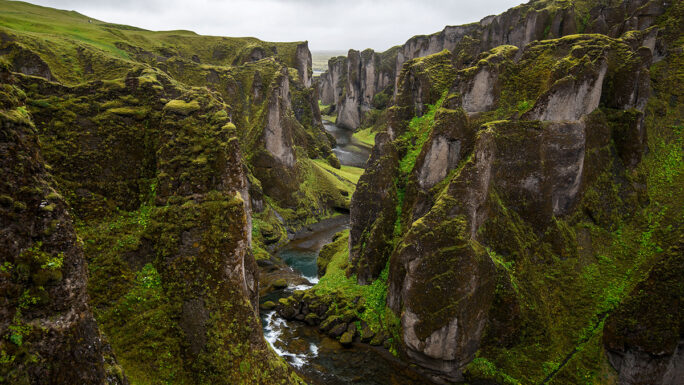
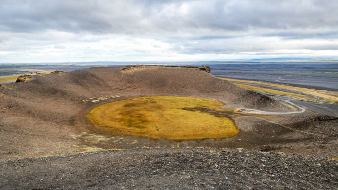
4. Fagrifoss · Laki · Tjarnargígur
From the famous canyon Fjaðrárgljúfur we head further into the highlands along F206, returning via a loop on F207.
By car: 95 km · Car: 4×4 · Driving skills: 3.7/5 · On foot: 4 km · Time: 4–5 hrs · Season: summer
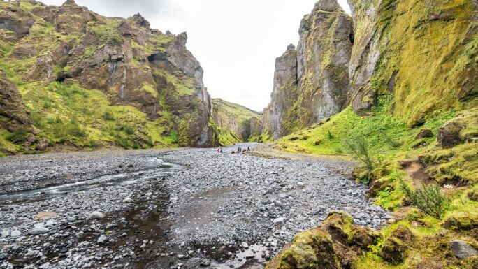
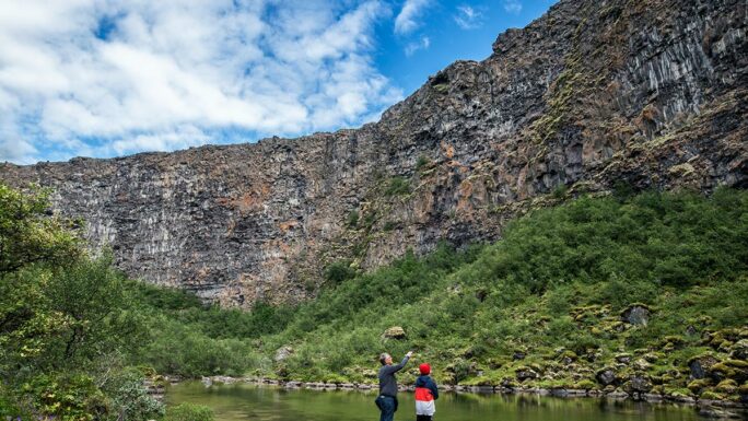
A short detour from the RR into the Stafafellsfjöll hills.
Two canyons that can be explored as a circular route. The canyons are beautiful, easily accessible and usually completely overlooked by tourists.
By car: 10 km · Car: 2×2 · Driving skills: 2/5 · On foot: 4–8 km · Time: 2–5 hrs · Season: summer
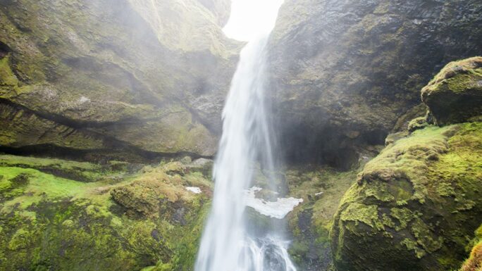
6. Folaldafoss
A common shortcut on the journey around Iceland — no need to return to the RR, you can continue onwards.
The Folaldafoss waterfall is clearly visible from the car park and is quite easily accessible. The Hænubrekkufoss waterfall is harder to reach and if you don’t have a particular passion for waterfalls photographed by a maximum of 5 people a year, it’s not worth the detour.
By car: 10–25 km · Driving skills: 2.2/5 · On foot: 1 km · Time: 1–2 hrs · Season: summer
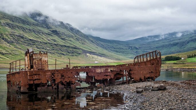
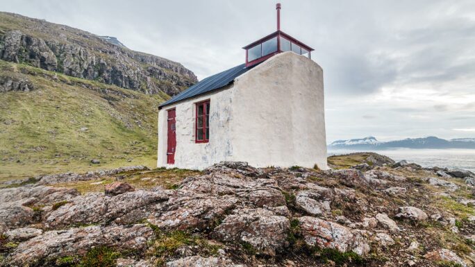
7. Klifbrekkufossar · shipwreck · Dalatangaviti eldri
Along road 953 Mjóafjarðarvegur to the eastern fjord Mjóifjörður.
In a place that few people visit, the highlight is the cascade of Klifbrekkufossar waterfalls and a shipwreck close to the shore, slowly yielding to the ravages of time. Extending the trip all the way to the easternmost point on Iceland reachable by car brings you to the lighthouse Dalatangaviti eldri from 1893.
By car: 40 km (+55 km) · Driving skills: 2.2/5 (2.5/5) · Car: 2×2 · On foot: 1 km (+1 km) · Time: 3 hrs (+4 hrs) · Season: summer
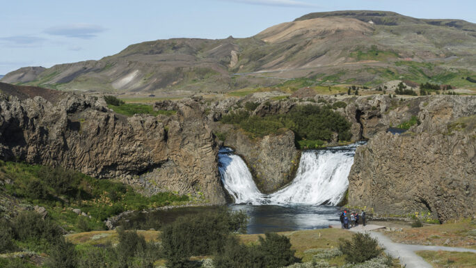
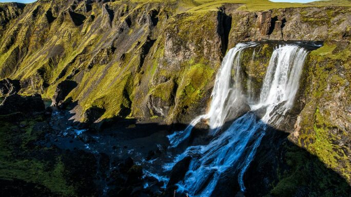
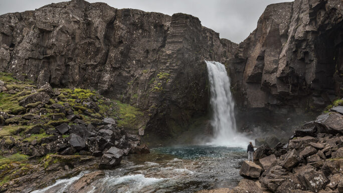
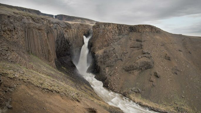
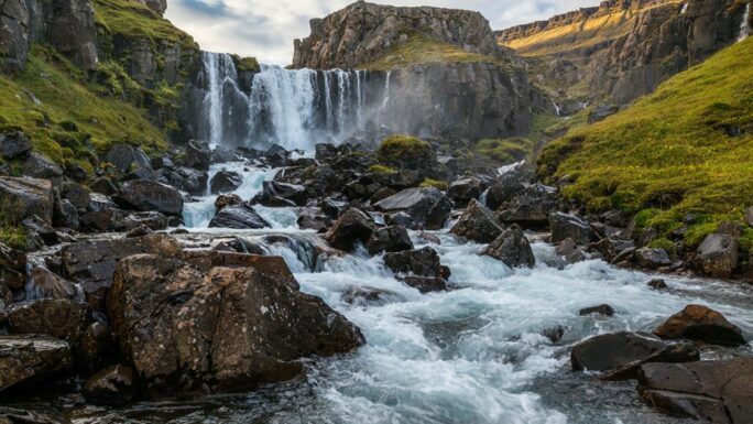
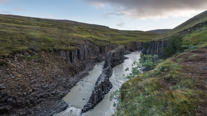
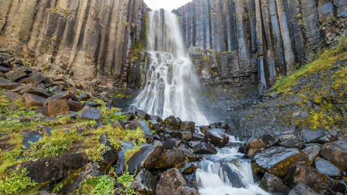
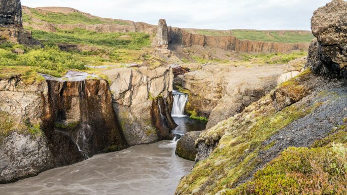
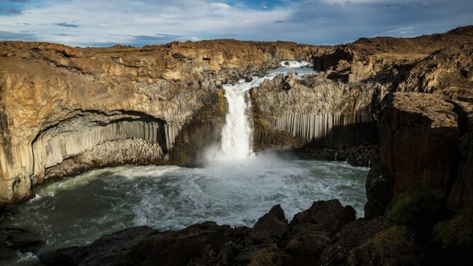
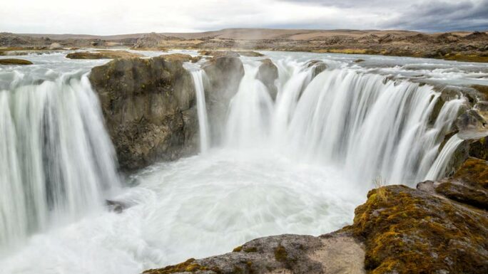
8. Hengifoss · Litlanesfoss
Hengifoss is one of the most interesting waterfalls in Iceland and also the third highest. It is characterised by a rugged rocky backdrop with three strong stripes marking ancient volcanic activity. Strútsfoss is somewhat similar in its own way, yet different — you can’t get as close to it and you’ll encounter very few people there.
By car: 80 km (+25 km) · Driving skills: 1.1/5 (2.2/5) · On foot: 5 km (+8 km) · Time: 4 hrs (+4 hrs) · Season: summer
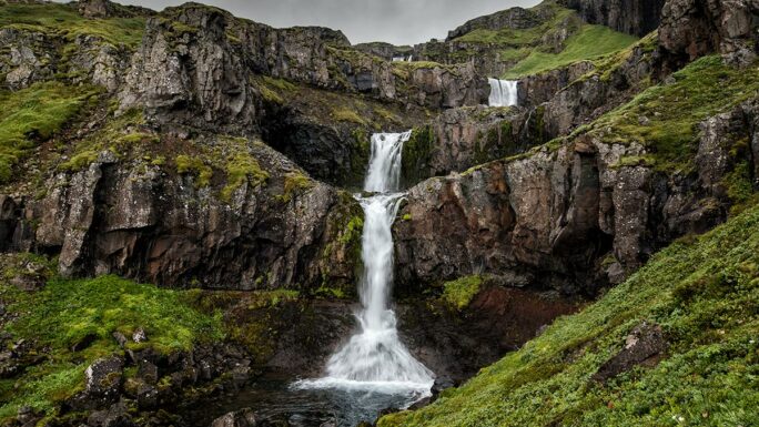
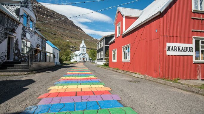
9. Seyðisfjörður · Gufufoss · Vestdalsfossar
A detour to the harbour along road 93 over Fjarðarheiði (620 m a.s.l.) past the Gufufoss waterfall.
The detour to the port town of Seyðisfjörður, famous for its rainbow pavement leading to the blue church, is quite popular. Just beyond Seyðisfjörður are the Vestdalsfossar waterfalls, which are worth a visit while you’re there.
By car: 55 km (+6 km) · Driving skills: 1.3/5 (2.0/5) · Car: 2×2 · On foot: 1 km (+2 km) · Time: 4 hrs (+2 hrs) · Season: year-round
10. Hafnarhólmi · Innra-Hvannagil · Lindarbakki · Geirsstaðakirkja · Stórurð · Stapavík
A detour along road 94 Borgarfjarðarvegur.
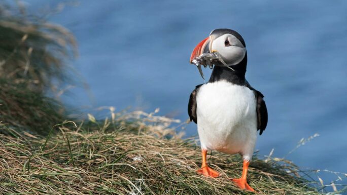
This detour takes you to the best place in Iceland to watch puffins — on wooden walkways you can literally walk among them. In the village of Bakkagerði you will see the turf-roofed house Lindarbakki. Just before Bakkagerði is the smaller canyon Innra-Hvannagil. On the way back to the RR you can take road 925, which also passes by the small church Geirsstaðakirkja.
By car: 160 km · Driving skills: 1.5/5 · Car: 2×2 · On foot: 1 km (Stórurð +10 km, Stapavík +8 km) · Time: 6 hrs (Stórurð +6 hrs, Stapavík +4 hrs) · Season: year-round (but puffins leave at the end of August)
11. Bustarfell
About 40 kilometres from the RR.
By car: 80 km · Driving skills: 1.3/5 · Car: 2×2 · On foot: 200 m · Time: 2.5 hrs · Season: summer (closed out of season)
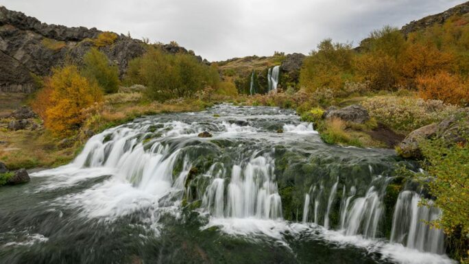
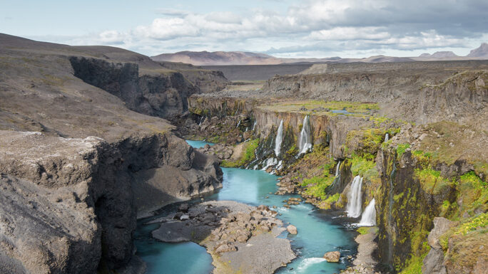
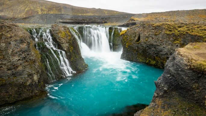
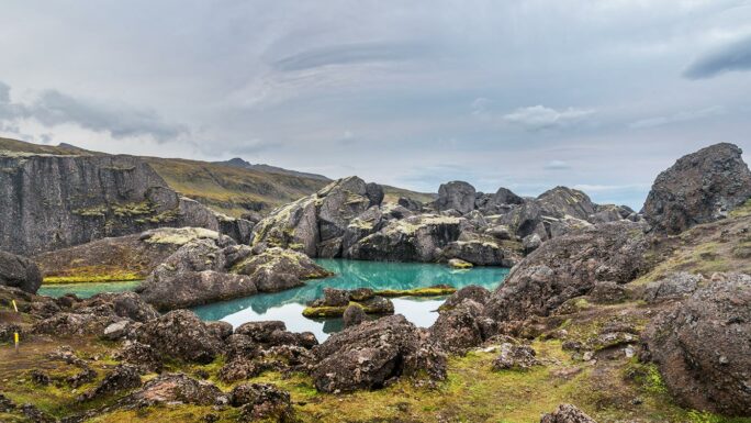
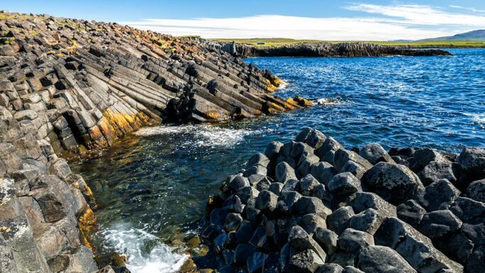
12. Stuðlagil · Stuðlafoss
A fairly short detour from the RR.
One of the newest attractions in Iceland — the canyon was essentially entirely submerged by the river Jökulsá á Brú until the Kárahnjúkavirkjun hydroelectric plant was brought into operation in 2009. From the west, steep stairs lead up to a viewpoint with beautiful but somewhat limited views. From the east, a footpath roughly 2.5 km long leads from the car park — here you can descend all the way to the river and walk along the enormous basalt columns just above the surface of the turquoise water.
By car: 45 km · Driving skills: 1.6/5 · Car: 2×2 · On foot: 1 km (west), 5 km (east) · Time: 2–5 hrs · Season: year-round from the west, summer from the east
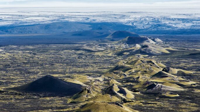
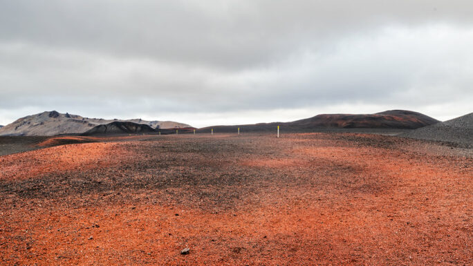
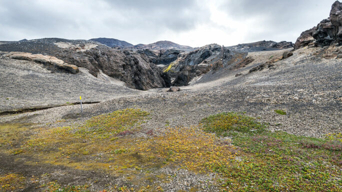
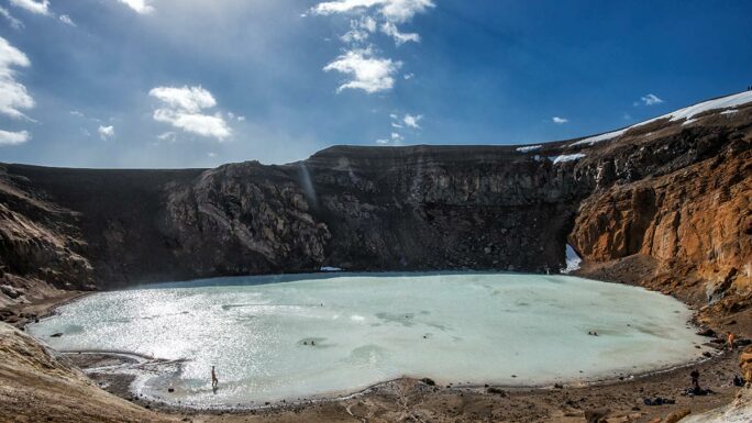
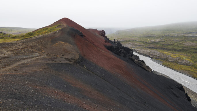
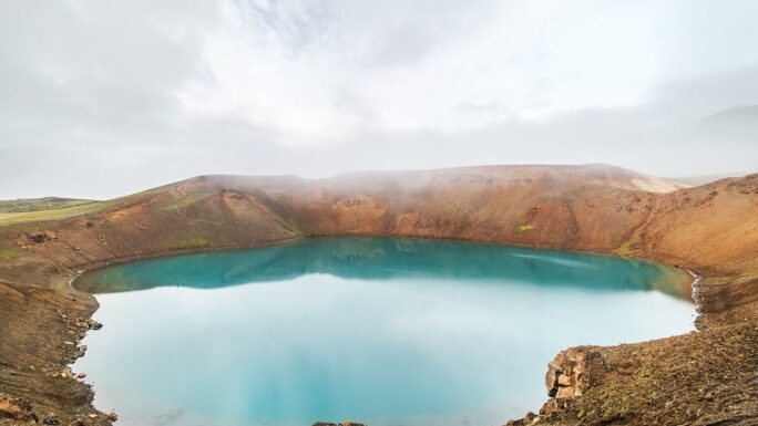
13. Askja · Nautagil · Víti (Askja) · Herðubreiðarlindir · Hrossaborg
Into the highlands via road 901, F905, F910, F894, returning via F88 (serious off-road). Smaller 4×4: turn around at Herðubreiðarlindir — the ford across the river Lindaá is typically around 60 cm deep.
This detour takes you beneath the queen mountain Herðubreið, into the Askja caldera and to the canyon Nautagil, about which legend has it that American astronauts trained here in preparation for the Apollo programme. There is also the geothermal crater lake Víti (hell), in which swimming is no longer recommended. In the Herðubreiðarlindir area, be sure to ask the rangers about the water level and passability of this ford.
By car: 220 km · Driving skills: F905 3.6/5, F88 4.1/5 · Car: 4×4 · On foot: 10 km · Time: 22 hrs · Season: summer
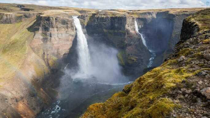
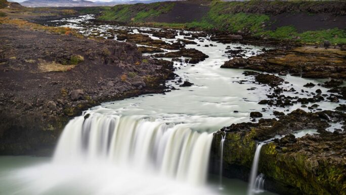
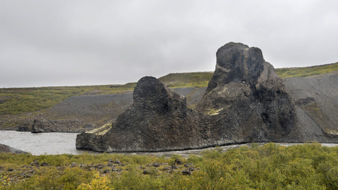
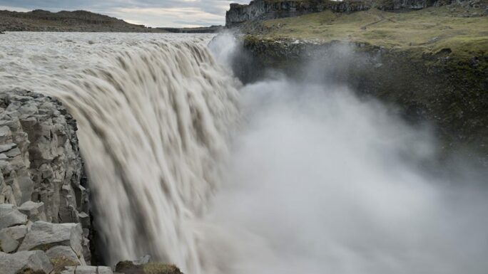
14. Ásbyrgi · Rauðhólar · Hljóðaklettar · Vigabjargsfoss · Hólmárfossar · Dettifoss
Arrive at Dettifoss first from the east along road 864, continue to Ásbyrgi, return via roads 862 and 886.
Even though the Dettifoss waterfall is not directly on the RR, a stop there is absolutely a must. On the way back you can also make two stops along road 852 — a walk to the hill Rauðhólar and the rock labyrinth Hljóðaklettar, followed by a stop at the rock giants Karl og Kerling. The second stop consists of the waterfalls Vigabjargsfoss and Hólmárfossar.
By car: 65 km (+15 km) · Driving skills: 1.8/5 (1.9/5) · Car: 2×2 · On foot: 3 km (+10 km) · Time: 5 hrs (+8 hrs) · Season: summer
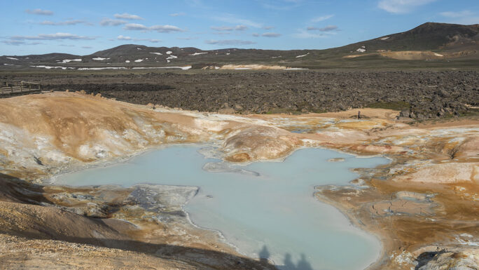
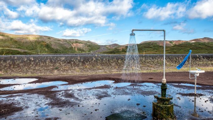
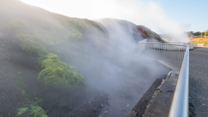
15. Víti (Krafla) · Leirhnjúkur · geothermal shower
A fairly short detour from the RR into the geothermal area and the Krafla power station.
A curiosity here is an open-air shower where you can freshen up.
By car: 20 km · Driving skills: 2.1/5 · Car: 2×2 · On foot: 3 km · Time: 3 hrs · Season: year-round
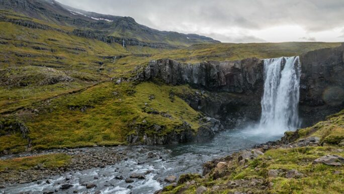
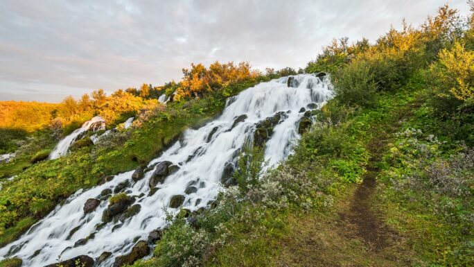
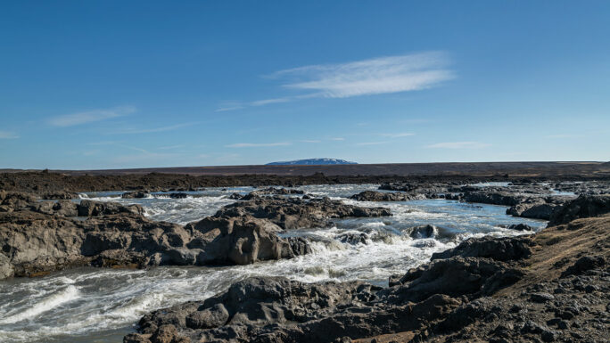
16. Aldeyjarfoss · Ingvarfoss · Hrafnabjargafoss
From the RR you turn south along the river Skjálfandafljót. Roads run along both banks and are of comparable quality.
If you have a 2×2 car or want to come here in winter, leave the car where road 842 ends and road F26 begins, and continue on foot. It is 4 kilometres each way to the Aldeyjarfoss waterfall. Fun fact: Aldeyjarfoss was historically the first post on the IcelandtheBeautiful website.
By car: 90 km · Driving skills: 2.7/5 · Car: 4×4 · On foot: 2 km · Time: 5 hrs · Season: summer
17. Ketubjörg · Lítlafoss í Ketubjörg · Kálfshamarsvík · Grettislaug
Between Varmahlíð and Blönduós — a small detour onto the Skagi peninsula.
The main attractions are the Ketubjörg cliffs with waterfalls and the basalt columns right on the coast known as Kálfshamarsvík. If a geothermal soak appeals to you, a small additional detour takes you to the Grettislaug pool.
By car: 140 km (Grettislaug +30 km) · Driving skills: 1.6/5 · Car: 2×2 · On foot: 2 km (+1 km) · Time: 5 hrs (+2 hrs) · Season: year-round
18. Kattarauga · Hvammsfoss
Road 722.
The main attraction along road 722 is the interesting little lake Kattarauga — the cat’s eye. On the other side is the Hvammsfoss waterfall. At the start (or end) of the road there is a small hill with a viewpoint by Lake Flóðið — Vatndalshólar.
By car: 50 km · Driving skills: 1.9/5 · Car: 2×2 · On foot: 2 km · Time: 3 hours · Season: summer
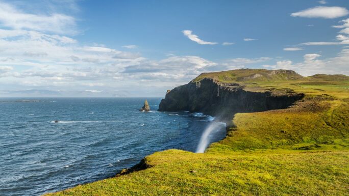
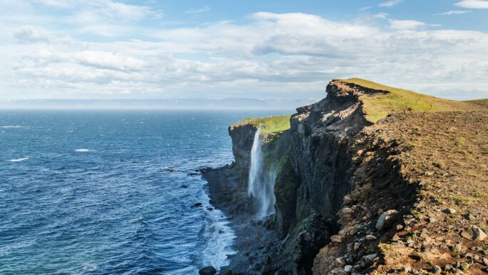
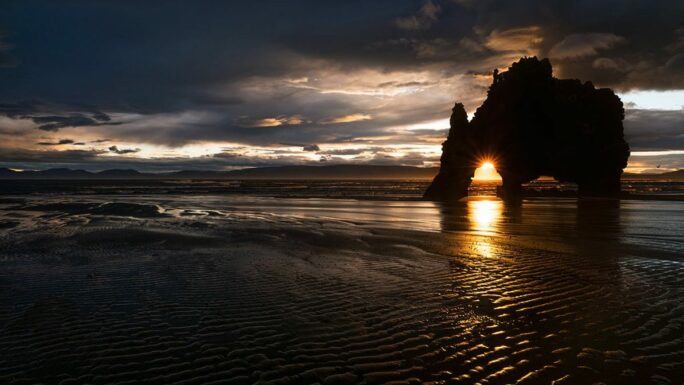
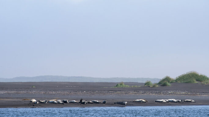
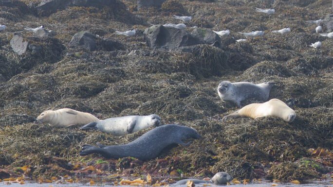
19. Hvítserkur · seals at Hvítserkur · Illugastaðir · Borgarvirki
Vatnsnes — a peninsula that adds variety to your journey along the north of Iceland with a detour from the RR.
The main attraction is the rock formation in the shape of a mythical creature — Hvítserkur. With a bit of luck you can also spot seals at several places here, though those near Hvítserkur are usually far away. In Hvammstangi there is a seal centre with an exhibition that you can visit. A bonus of this route is that you will have an ocean view for almost the entire drive.
By car: 80 km · Driving skills: 2.3/5 · Car: 2×2 · On foot: 2 km · Time: 3 hrs · Season: year-round
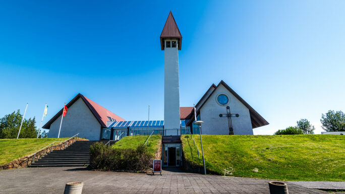
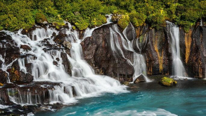
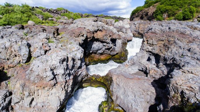
20. Deildartunguhver · Reykholt · Hraunfossar · Barnafoss
From the RR we turn off on road 50, continuing along road 518 through Reykholt to the famous lava waterfalls.
By car: 80 km · Driving skills: 1.4/5 · Car: 2×2 · On foot: 4 km · Time: 5 hrs · Season: year-round
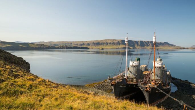
21. ships in Hvalfjörður · Steðji-Staupasteinn · Sjávarfoss · Glymur
A detour from the RR along road 47 around the fjord Hvalfjörður (instead of going through the undersea tunnel).
A short way off via a local road we can drive to a car park and from there set off to the Glymur waterfall.
By car: 70 km (Glymur +10 km) · Driving skills: 1.6/5 (Glymur 2.2/5) · Car: 2×2 · On foot: 1 km (Glymur +7 km) · Time: 2 hrs (Glymur +5 hrs) · Season: year-round (Glymur: summer)
Main attractions on the route
Meet an experienced guide in Iceland
10 seasons of experience. 99% chance of nice weather and places you didn't know existed.
