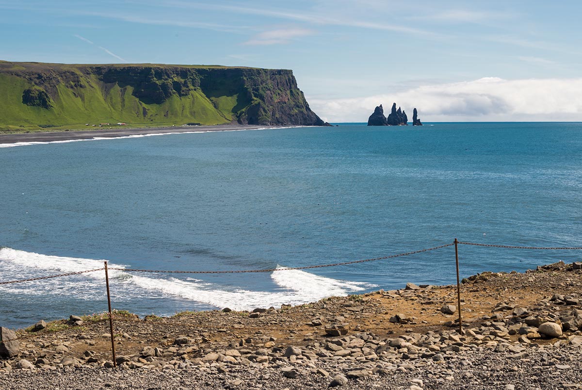
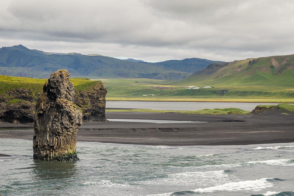
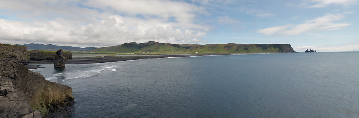
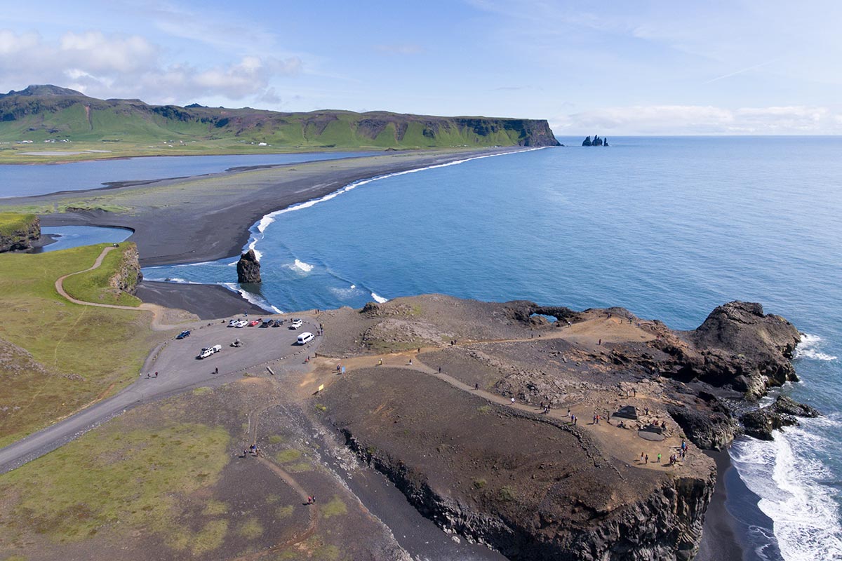
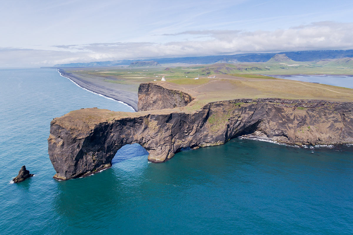
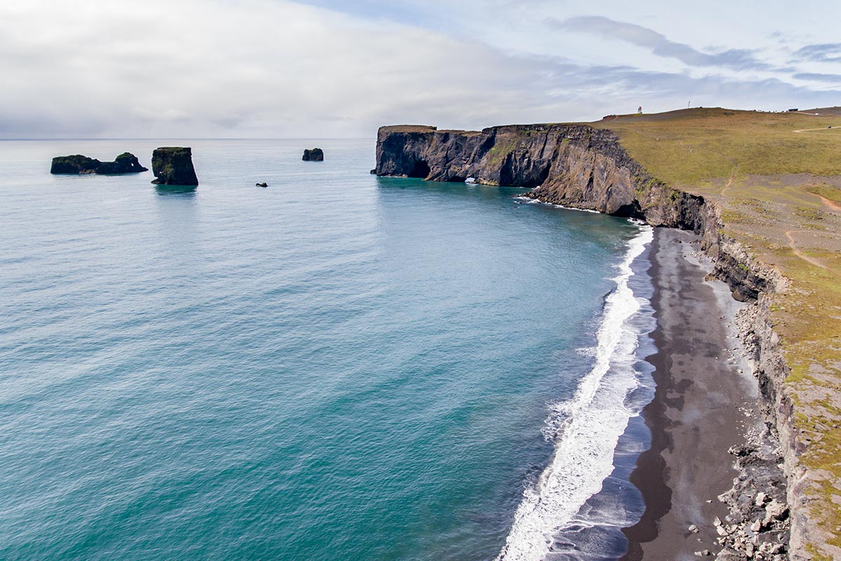
Dyrhólaey
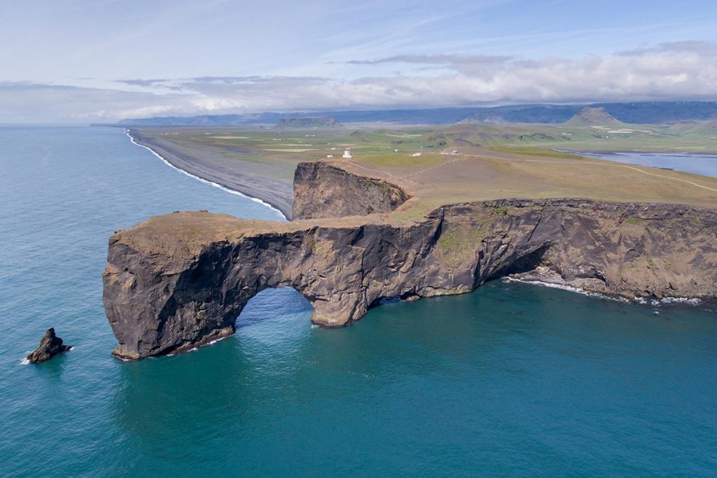
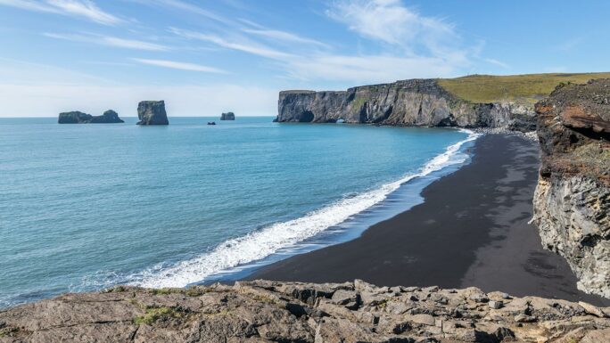
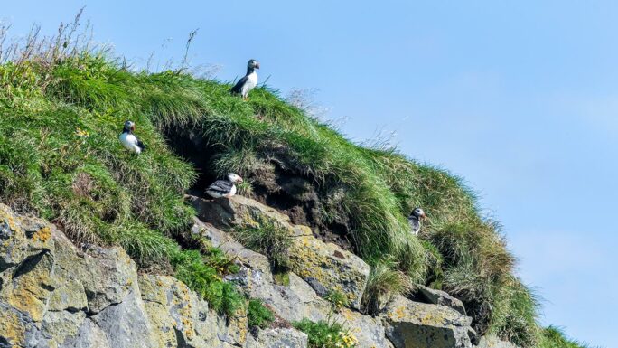
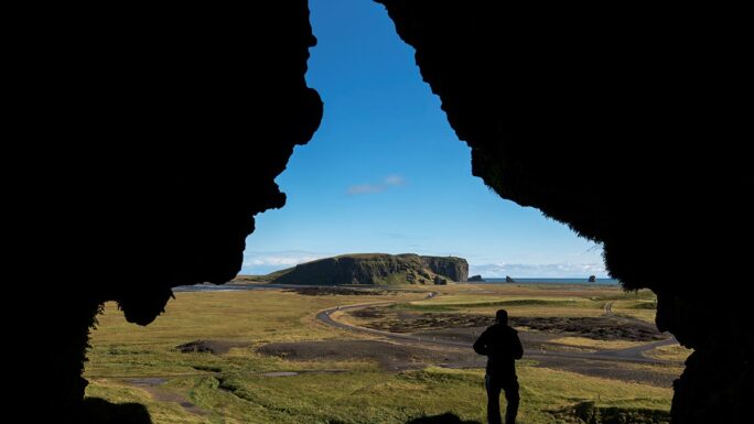
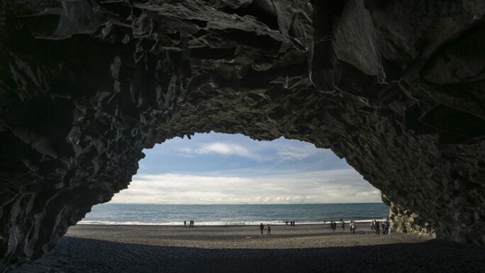
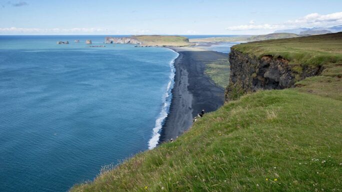
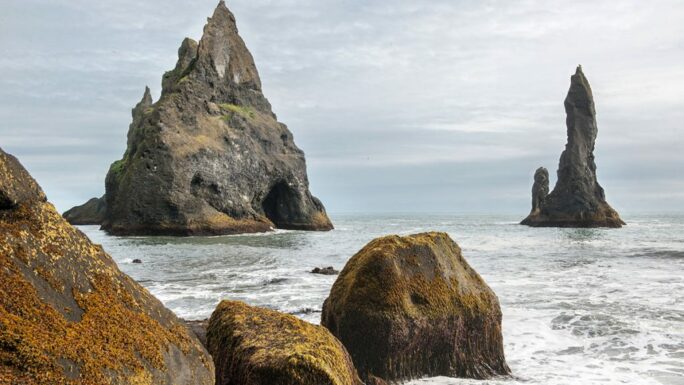
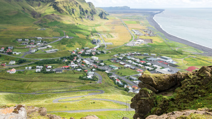
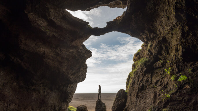
The rock arch of Dyrhólaey forms a small peninsula and is the southernmost point of mainland Iceland. Each summer, its formations attract tens of thousands of migratory birds to nest, and due to its beauty, at least as many visitors. The reasons to visit include stunning views of the surroundings; to one side, towards Reynisfjara beach with the Reynisdrangar sea cliffs, or on the other, views of Sólheimasandur beach featuring the iconic site of the DC-3 Dakota airplane wreck, and even as far as the Vestmannaeyjar archipelago. Intriguingly, Dyrhólaey was an island in ancient times, and unsurprisingly, you’ll find a lighthouse here. Near the rear parking lot on the cliff, you can observe puffins.
Dyrhólaey is located on the southern coast of Iceland, near the town of Vík and the famous black sand beach of Reynisfjara.
Materials for download
Explore 150 Breathtaking Icelandic Locations

Clever map of Iceland – digital version (44MB)


Meet an experienced guide in Iceland
10 seasons of experience. 99% chance of nice weather and places you didn't know existed.
